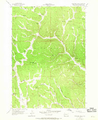
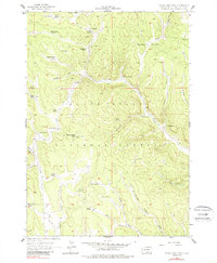
1956 Map of Crows Nest Peak
USGS Topo · Published 1969About this map
Black Hills National Forest defines the landscape of this 1950s survey, showing a rugged terrain where the livestock industry and forest management intersect. The map is centered on Crows Nest Peak Lookout Tower, a critical high point for fire observation in the era. A dense network of family-held properties is documented here, including the Mickelson Ranch, Luhtasaari Ranch, and Soholt Ranch, illustrating the dispersed settlement pattern characteristic of western Pennington County before modern consolidation.
Find a feature on this map
43 named features on this map. Tap any name to fly to it.
Don’t see what you’re looking for? This feature index may not catch every label — zoom into the map to look around manually.
Map Details
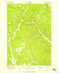
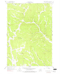
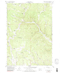
Editions of this 1956 Crows Nest Peak Map
5 editions found
Other maps of this area

1894 · Deadwood
USGS Topo · 1:125,000

1896 · Harney Peak
USGS Topo · 1:125,000

1898 · Sundance
USGS Topo · 1:125,000

1899 · Newcastle
USGS Topo · 1:125,000

1901 · Harney Peak
USGS Topo · 1:125,000

1901 · Deadwood
USGS Topo · 1:125,000

1901 · Newcastle
USGS Topo · 1:125,000

1902 · Sundance
USGS Topo · 1:125,000

1916 · Deadwood
USGS Topo · 1:125,000

1953 · Rapid City
USGS Topo · 1:250,000