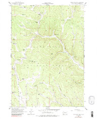
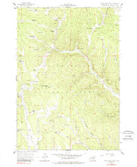
1956 Map of Crows Nest Peak
USGS Topo · Published 1988About this map
Black Hills National Forest land dominates this 1950s terrain, centered on the prominent summit of Crows Nest Peak. The landscape is a complex network of drainages and high parks, featuring the notable Lookout Tower which provided a vital vantage point for fire management in this wooded region. The area's mid-century character is defined by a series of family-named ranching outposts, such as the McCoy Ranch and Mickelson Ranch, tucked into the valleys and along the edges of high openings like Blind Park.
Find a feature on this map
42 named features on this map. Tap any name to fly to it.
Don’t see what you’re looking for? This feature index may not catch every label — zoom into the map to look around manually.
Map Details
Editions of this 1956 Crows Nest Peak Map
5 editions found
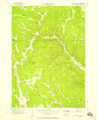
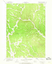
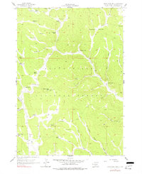
Other maps of this area

1894 · Deadwood
USGS Topo · 1:125,000

1896 · Harney Peak
USGS Topo · 1:125,000

1898 · Sundance
USGS Topo · 1:125,000

1899 · Newcastle
USGS Topo · 1:125,000

1901 · Harney Peak
USGS Topo · 1:125,000

1901 · Deadwood
USGS Topo · 1:125,000

1901 · Newcastle
USGS Topo · 1:125,000

1902 · Sundance
USGS Topo · 1:125,000

1916 · Deadwood
USGS Topo · 1:125,000

1953 · Rapid City
USGS Topo · 1:250,000