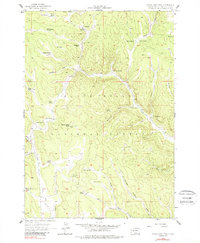
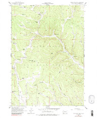
1956 Map of Crows Nest Peak
USGS Topo · Published 1988About this map
Black Hills National Forest land dominates this 1950s survey of Pennington County, centered on the high point at Crows Nest Peak with its prominent Lookout Tower. The map documents a landscape defined by an extensive network of family-owned ranching operations, including the Mickelson Ranch, McCullough Ranch, and Soholt Ranch. These homesteads are situated along the complex drainage systems of the Black Hills, where water sources like Miller Spring and Oatman Spring were essential for survival. The terrain is marked by numerous draws such as Manganese Draw and Bjornland Draw, which feed into larger watercourses like the South Fork Castle Creek. In the southwest, the Beaver Creek Camp indicates the area's role in forest management or recreation during the mid-20th century.
Find a feature on this map
47 named features on this map. Tap any name to fly to it.
Don’t see what you’re looking for? This feature index may not catch every label — zoom into the map to look around manually.
Map Details
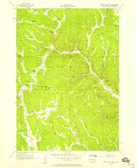
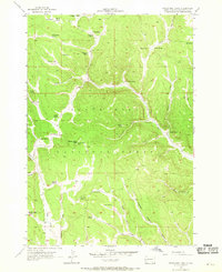
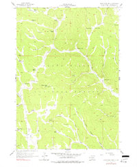
Editions of this 1956 Crows Nest Peak Map
5 editions found
Other maps of this area

1894 · Deadwood
USGS Topo · 1:125,000

1896 · Harney Peak
USGS Topo · 1:125,000

1898 · Sundance
USGS Topo · 1:125,000

1899 · Newcastle
USGS Topo · 1:125,000

1901 · Harney Peak
USGS Topo · 1:125,000

1901 · Deadwood
USGS Topo · 1:125,000

1901 · Newcastle
USGS Topo · 1:125,000

1902 · Sundance
USGS Topo · 1:125,000

1916 · Deadwood
USGS Topo · 1:125,000

1953 · Rapid City
USGS Topo · 1:250,000