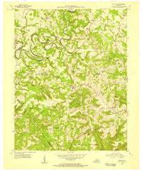
1954 Map of Cub Run
USGS Topo · Published 1955About this map
The Nolin River carves a dramatic, winding course through the center of this Hart County landscape, defining the rural character of the region during the mid-1950s. The terrain is a complex network of ridges and hollows, where small settlements like Roseburg and Big Windy are connected by narrow roads that trace the high ground. Local life in this era was anchored by neighborhood institutions, evidenced by the numerous country schools and houses of worship such as Broad Ford Sch and Macedonia Ch.
Find a feature on this map
46 named features on this map. Tap any name to fly to it.
Don’t see what you’re looking for? This feature index may not catch every label — zoom into the map to look around manually.
Map Details
Editions of this 1954 Cub Run Map
2 editions found
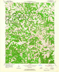
Other maps of this area

1922 · Mammoth Cave
USGS Topo · 1:62,500

1923 · Mammoth Cave
USGS Topo · 1:62,500

1925 · Cub Run
USGS Topo · 1:62,500

1934 · Munfordville
USGS Topo · 1:48,000

1935 · Horse Cave
USGS Topo · 1:48,000

1937 · Munfordville
USGS Topo · 1:62,500

1938 · Horse Cave
USGS Topo · 1:62,500

1953 · Munfordville
USGS Topo · 1:24,000

1954 · Evansville
USGS Topo · 1:250,000

1954 · Horse Cave
USGS Topo · 1:24,000