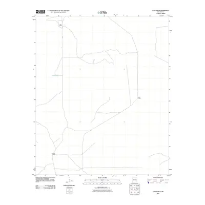
2010 Map of Culp Ranch
USGS Topo · Published 2010About this map
Culp Ranch serves as the primary landmark in this corner of Chaves County, centered along Inez Rd. The landscape reflects the essential infrastructure of New Mexico rangeland, where water management is the defining human footprint. Named features such as Adams Tank and isolated structures like the Backus Windmill and Lone Wolf Windmills illustrate the scattered nature of ranching operations in the early 21st century. The map provides a detailed view of the winding unpaved tracks and drainage patterns that connect these remote outposts, showing a quiet continuity in land use.
Find a feature on this map
5 named features on this map. Tap any name to fly to it.
Don’t see what you’re looking for? This feature index may not catch every label — zoom into the map to look around manually.
Map Details
Editions of this 2010 Culp Ranch Map
This is the sole edition of this map. No revisions or reprints were ever made.
Other maps of this area

1949 · Sardine Mountain
USGS Topo · 1:24,000

1949 · Malstrom Ranch
USGS Topo · 1:24,000

1952 · Connor Well
USGS Topo · 1:24,000

1954 · Brownfield
USGS Topo · 1:250,000

1955 · Roswell
USGS Topo · 1:250,000

1958 · Brownfield
USGS Topo · 1:250,000

1958 · Roswell
USGS Topo · 1:250,000

1962 · Roswell
USGS Topo · 1:250,000

1962 · Brownfield
USGS Topo · 1:250,000

1973 · Culp Ranch
USGS Topo · 1:24,000