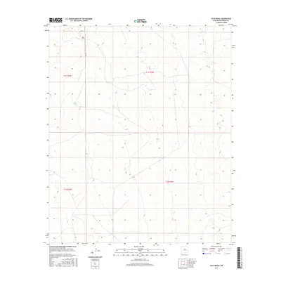
2017 Map of Culp Ranch
USGS Topo · Published 2017About this map
Culp Ranch serves as the primary named landmark in this expanse of Chaves County, characterized by the grid-based land management typical of the American West. The landscape is defined by its water management and sparse infrastructure, including the Adams Tank reservoir which highlights the vital role of water in this arid environment. Transportation across the quadrangle is facilitated by a modest network of local routes such as Inez Rd and Co Rd 57, which provide access between the scattered ranching operations and the larger region. The map reflects a modern snapshot of rural New Mexico, where large-scale ranching continues to shape the physical and economic geography of the high plains.
Find a feature on this map
8 named features on this map. Tap any name to fly to it.
Don’t see what you’re looking for? This feature index may not catch every label — zoom into the map to look around manually.
Map Details
Editions of this 2017 Culp Ranch Map
This is the sole edition of this map. No revisions or reprints were ever made.
Other maps of this area

1949 · Sardine Mountain
USGS Topo · 1:24,000

1949 · Malstrom Ranch
USGS Topo · 1:24,000

1952 · Connor Well
USGS Topo · 1:24,000

1954 · Brownfield
USGS Topo · 1:250,000

1955 · Roswell
USGS Topo · 1:250,000

1958 · Brownfield
USGS Topo · 1:250,000

1958 · Roswell
USGS Topo · 1:250,000

1962 · Roswell
USGS Topo · 1:250,000

1962 · Brownfield
USGS Topo · 1:250,000

1973 · Culp Ranch
USGS Topo · 1:24,000