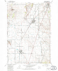
1985 Map of Culver
USGS Topo · Published 1986About this map
Culver and Metolius serve as the primary agricultural and rail hubs on this Central Oregon plateau during the mid-1980s. The landscape is defined by the Burlington Northern railroad corridor, which links these small communities to Madras in the northeast. This era shows a highly organized irrigation network, with the Northern Bear Drive Canal and various siphons feeding the surrounding fields.
Find a feature on this map
37 named features on this map. Tap any name to fly to it.
Don’t see what you’re looking for? This feature index may not catch every label — zoom into the map to look around manually.
Map Details
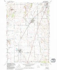
Editions of this 1985 Culver Map
2 editions found
Other maps of this area

1926 · Bend
USGS Topo · 1:125,000

1928 · Madras
USGS Topo · 1:125,000

1929 · Bend
USGS Topo · 1:125,000

1931 · Madras
USGS Topo · 1:125,000

1955 · Bend
USGS Topo · 1:250,000

1957 · Bend
USGS Topo · 1:250,000

1958 · Bend
USGS Topo · 1:250,000

1962 · Opal City
USGS Topo · 1:24,000
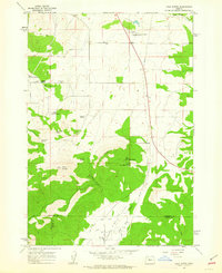
1962 · Gray Butte
USGS Topo · 1:24,000
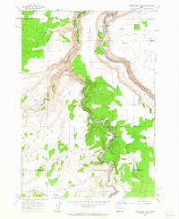
1962 · Steelhead Falls
USGS Topo · 1:24,000