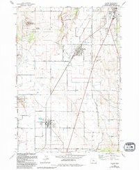
1985 Map of Culver
USGS Topo · Published 1994About this map
Culver and Metolius sit at the heart of an agricultural landscape shaped by extensive irrigation networks, including the Main Bear Canal and North Bear Canal. This central Jefferson County region shows a transition from the structured grid of the Little Agency Plains to the dramatic terrain of Dry Canyon and the Crooked River. The presence of the Oregon Trunk Railroad running north-south through the settlements highlights the importance of rail transport for this farming community during the late twentieth century.
Find a feature on this map
39 named features on this map. Tap any name to fly to it.
Don’t see what you’re looking for? This feature index may not catch every label — zoom into the map to look around manually.
Map Details
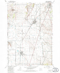
Editions of this 1985 Culver Map
2 editions found
Other maps of this area

1926 · Bend
USGS Topo · 1:125,000

1928 · Madras
USGS Topo · 1:125,000

1929 · Bend
USGS Topo · 1:125,000

1931 · Madras
USGS Topo · 1:125,000

1955 · Bend
USGS Topo · 1:250,000

1957 · Bend
USGS Topo · 1:250,000

1958 · Bend
USGS Topo · 1:250,000

1962 · Opal City
USGS Topo · 1:24,000
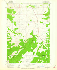
1962 · Gray Butte
USGS Topo · 1:24,000
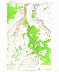
1962 · Steelhead Falls
USGS Topo · 1:24,000