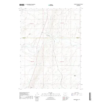
2017 Map of Cumberland Gap
USGS Topo · Published 2017About this map
Cumberland Gap serves as a focal point for this landscape along the border of Lincoln and Uinta Counties. The terrain is defined by distinct topographical formations such as The Hogsback and the broad Cumberland Flats, where the drainage network includes the N Fork Little Muddy Cr and Little Muddy Cr. For those tracing local history or family roots, the presence of the Cumberland Cem near the junction of Cumberland Rd offers a specific point of interest in this high-desert environment. The map also captures the eastern edge of the area known as Carter Cedars. The infrastructure of the era is reflected in several utility and industrial routes, including the Haul Rd and Co Rd 225, illustrating the region's continued reliance on managed access roads through the drainages of Albert Cr and Whitney Cr.
Find a feature on this map
17 named features on this map. Tap any name to fly to it.
Don’t see what you’re looking for? This feature index may not catch every label — zoom into the map to look around manually.
Map Details
Editions of this 2017 Cumberland Gap Map
This is the sole edition of this map. No revisions or reprints were ever made.
Other maps of this area

1954 · Ogden
USGS Topo · 1:250,000

1958 · Ogden
USGS Topo · 1:250,000

1960 · Ogden
USGS Topo · 1:250,000

1962 · Cumberland Gap
USGS Topo · 1:24,000

1962 · Elkol SW
USGS Topo · 1:24,000

1962 · Elkol
USGS Topo · 1:24,000

1962 · Warfield Creek
USGS Topo · 1:24,000

1964 · Carter
USGS Topo · 1:24,000

1965 · Bridger
USGS Topo · 1:24,000

1965 · Meadow Draw
USGS Topo · 1:24,000