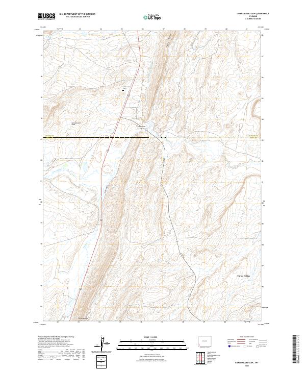
2021 Map of Cumberland Gap
USGS Topo · Published 2021About this map
Cumberland Gap and the surrounding high desert terrain of the Lincoln and Uinta County line define this corner of Wyoming. The landscape is marked by prominent geological formations such as the steep spine of The Hogsback to the south and the rising elevation of Oyster Ridge in the north. The area's history is anchored by the Cumberland Cem on the Cumberland Flats, a site that remains as a point of interest for genealogists and local historians tracking the early inhabitants of these coal-rich highlands.
Find a feature on this map
18 named features on this map. Tap any name to fly to it.
Don’t see what you’re looking for? This feature index may not catch every label — zoom into the map to look around manually.
Map Details
Editions of this 2021 Cumberland Gap Map
This is the sole edition of this map. No revisions or reprints were ever made.
Other maps of this area

1954 · Ogden
USGS Topo · 1:250,000

1958 · Ogden
USGS Topo · 1:250,000

1960 · Ogden
USGS Topo · 1:250,000

1962 · Cumberland Gap
USGS Topo · 1:24,000

1962 · Elkol SW
USGS Topo · 1:24,000

1962 · Elkol
USGS Topo · 1:24,000

1962 · Warfield Creek
USGS Topo · 1:24,000

1964 · Carter
USGS Topo · 1:24,000

1965 · Bridger
USGS Topo · 1:24,000

1965 · Meadow Draw
USGS Topo · 1:24,000