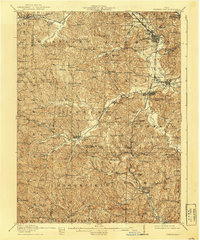
1911 Map of Cumberland
USGS Topo · Published 1939About this map
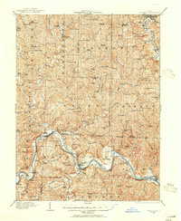
The National Road cuts across the northern edge of this landscape, marking the historic artery of westward expansion through Muskingum and Guernsey counties. This 1911 survey illustrates a region where the rural schoolhouse system was at its peak, dotted with descriptively named institutions like the Rough and Ready School and the Convict School. The influence of the coal industry is evident in settlements such as Klondyke and Coal Ridge, while the village of Cumberland serves as a central hub at the junction of the Baltimore and Ohio RR. The intricate network of ridges and valley floors is defined by the Wills Creek drainage and its numerous forks, such as Dyes Fork and Bluebell Creek. This topography necessitated a dense infrastructure of local roads connecting small hamlets like Hoskinsville and Rix Mills, providing a detailed look at the social and economic geography of southeastern Ohio before the modernization of the highway system.
Find a feature on this map
115 named features on this map. Tap any name to fly to it.
Don’t see what you’re looking for? This feature index may not catch every label — zoom into the map to look around manually.
Map Details
Editions of this 1911 Cumberland Map
2 editions found
Other maps of this area

1903 · Macksburg
USGS Topo · 1:62,500

1905 · Macksburg
USGS Topo · 1:62,500
1908 · Conesville
USGS Topo · 1:62,500
1909 · Antrim
USGS Topo · 1:48,000
1909 · Caldwell
USGS Topo · 1:62,500
1909 · Summerfield
USGS Topo · 1:62,500

1909 · Cambridge
USGS Topo · 1:62,500
1910 · Philo
USGS Topo · 1:62,500

1910 · Conesville
USGS Topo · 1:62,500
1910 · Mc Connelsville
USGS Topo · 1:62,500