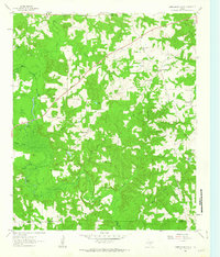
1961 Map of Cunningham Creek
USGS Topo · Published 1963About this map
Black Cypress Creek dominates the lowlands of this East Texas terrain, snaking through a landscape defined by its waterways and small rural communities. The map captures the scattered settlements of Bear Creek, Fairview, and Liberty during the early 1960s, a period when the regional economy remained deeply tied to the land and its drainage basins. Numerous smaller streams like Cunningham Creek and Flat Creek feed into the primary marshy bayous, creating a complex network of ponds and lakes such as Pruitt Lake and Hughes Lake.
Find a feature on this map
33 named features on this map. Tap any name to fly to it.
Don’t see what you’re looking for? This feature index may not catch every label — zoom into the map to look around manually.
Map Details
Editions of this 1961 Cunningham Creek Map
This is the sole edition of this map. No revisions or reprints were ever made.
Other maps of this area
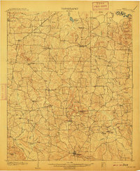
1910 · Linden
USGS Topo · 1:62,500
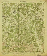
1914 · Daingerfield
USGS Topo · 1:62,500

1953 · Texarkana
USGS Topo · 1:250,000

1956 · Texarkana
USGS Topo · 1:250,000

1956 · Tyler
USGS Topo · 1:250,000
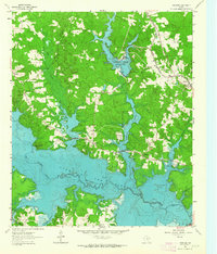
1961 · Lassater
USGS Topo · 1:24,000
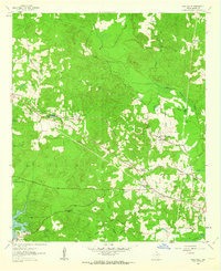
1962 · Kellyville
USGS Topo · 1:24,000
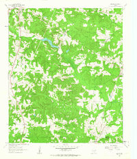
1962 · Lanier
USGS Topo · 1:24,000
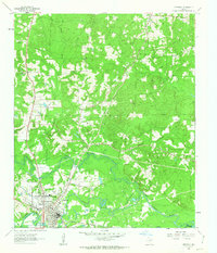
1962 · Jefferson
USGS Topo · 1:24,000
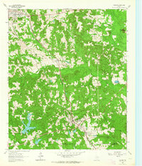
1962 · Avinger
USGS Topo · 1:24,000