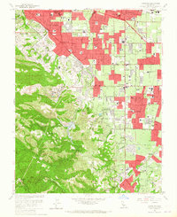
1961 Map of Cupertino
USGS Topo · Published 1965About this map
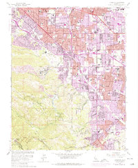
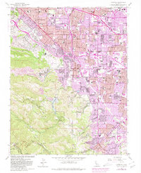
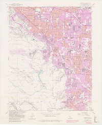
The Santa Cruz Mountains and their transition into the developing Santa Clara Valley define this landscape during a period of rapid suburban expansion. Large blocks of residential growth in Sunnyvale, Los Altos, and Cupertino contrast sharply with the industrial and agricultural features still present, such as the massive Cement Plant near Permanente Creek and several gravel pits. Educational and religious institutions are prominent landmarks, including the sprawling grounds of St Josephs Sem and numerous newly established schools like Fremont High Sch and Cupertino High Sch.
Find a feature on this map
93 named features on this map. Tap any name to fly to it.
Don’t see what you’re looking for? This feature index may not catch every label — zoom into the map to look around manually.
Map Details
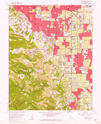
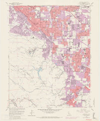
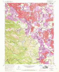
Editions of this 1961 Cupertino Map
7 editions found
Other maps of this area

1889 · San Jose
USGS Topo · 1:62,500

1897 · San Jose
USGS Topo · 1:62,500

1897 · Palo Alto
USGS Topo · 1:62,500

1899 · San Jose
USGS Topo · 1:62,500

1899 · Palo Alto
USGS Topo · 1:62,500

1902 · Santa Cruz
USGS Topo · 1:125,000

1916 · New Almaden
USGS Topo · 1:48,000

1919 · New Almaden
USGS Topo · 1:62,500

1940 · Los Gatos
USGS Topo · 1:62,500

1941 · Palo Alto
USGS Topo · 1:62,500