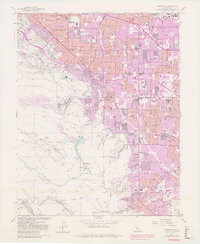
1961 Map of Cupertino
USGS Topo · Published 1980About this map
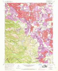
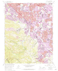
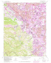
Monte Bello Ridge and the San Andreas Rift Zone define the southwestern landscape of this survey, contrasting the steep terrain of the Santa Cruz Mts with the rapid suburban expansion of the Santa Clara Valley. The transition from industrial and agricultural roots is evident in the presence of the massive Cement Plant and various gravel pits alongside newly established residential tracts in Cupertino and Sunnyvale. Educational and religious institutions are prominent landmarks, including St Josephs Seminary and numerous schools like De Anza Sch and Lynbrook High Sch. The map documents a critical period of growth where traditional features like the Southern Pacific railroad and Stevens Creek Reservoir meet the rising infrastructure of the Junipero Serra Freeway. Extensive water management is visible through the Percolation Basin and the winding paths of Permanente Creek and Calabazas Creek.
Find a feature on this map
106 named features on this map. Tap any name to fly to it.
Don’t see what you’re looking for? This feature index may not catch every label — zoom into the map to look around manually.
Map Details
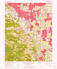
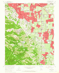
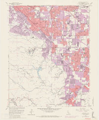
Editions of this 1961 Cupertino Map
7 editions found
Other maps of this area

1889 · San Jose
USGS Topo · 1:62,500

1897 · San Jose
USGS Topo · 1:62,500

1897 · Palo Alto
USGS Topo · 1:62,500

1899 · San Jose
USGS Topo · 1:62,500

1899 · Palo Alto
USGS Topo · 1:62,500

1902 · Santa Cruz
USGS Topo · 1:125,000

1916 · New Almaden
USGS Topo · 1:48,000

1919 · New Almaden
USGS Topo · 1:62,500

1940 · Los Gatos
USGS Topo · 1:62,500

1941 · Palo Alto
USGS Topo · 1:62,500