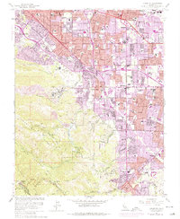
1961 Map of Cupertino
USGS Topo · Published 1975About this map
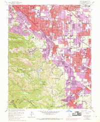
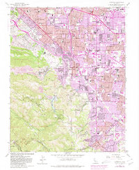
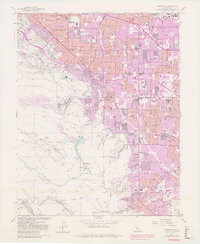
Sunnyvale and Cupertino undergo a significant transition in this mid-century survey, where orchards and open space give way to rapid suburbanization. The purple photorevision tint highlights the expansion of residential tracts across the valley floor, surrounding established sites like the Hospital San Anton and numerous local schools including Homestead High School and De Anza School. This period marks the arrival of the modern transportation network, showing the Junipero Serra Freeway and Stevens Creek Freeway cutting through the landscape to connect these burgeoning tech-sector suburbs.
Find a feature on this map
86 named features on this map. Tap any name to fly to it.
Don’t see what you’re looking for? This feature index may not catch every label — zoom into the map to look around manually.
Map Details
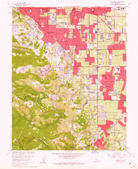
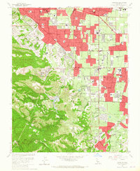
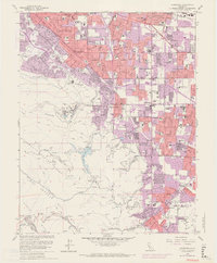
Editions of this 1961 Cupertino Map
7 editions found
Other maps of this area

1889 · San Jose
USGS Topo · 1:62,500

1897 · San Jose
USGS Topo · 1:62,500

1897 · Palo Alto
USGS Topo · 1:62,500

1899 · San Jose
USGS Topo · 1:62,500

1899 · Palo Alto
USGS Topo · 1:62,500

1902 · Santa Cruz
USGS Topo · 1:125,000

1916 · New Almaden
USGS Topo · 1:48,000

1919 · New Almaden
USGS Topo · 1:62,500

1940 · Los Gatos
USGS Topo · 1:62,500

1941 · Palo Alto
USGS Topo · 1:62,500