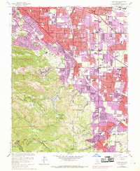
1961 Map of Cupertino
USGS Topo · Published 1969About this map
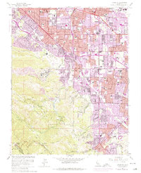
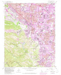
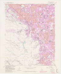
Loyola Corners and the expanding residential tracts of Sunnyvale and Cupertino represent the mid-century suburbanization of the Santa Clara Valley. While much of the valley floor transitions into housing developments, the western landscape remains defined by the steep grades of Monte Bello Ridge and the industrial activity of the Cement Plant near the Permanente Ridge. The map documents a critical infrastructure network, including the Southern Pacific rail line and the prominent San Andreas Rift Zone cutting through the foothills.
Find a feature on this map
57 named features on this map. Tap any name to fly to it.
Don’t see what you’re looking for? This feature index may not catch every label — zoom into the map to look around manually.
Map Details
Editions of this 1961 Cupertino Map
7 editions found
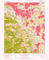
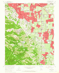
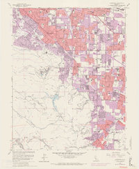
Other maps of this area

1889 · San Jose
USGS Topo · 1:62,500

1897 · San Jose
USGS Topo · 1:62,500

1897 · Palo Alto
USGS Topo · 1:62,500

1899 · San Jose
USGS Topo · 1:62,500

1899 · Palo Alto
USGS Topo · 1:62,500

1902 · Santa Cruz
USGS Topo · 1:125,000

1916 · New Almaden
USGS Topo · 1:48,000

1919 · New Almaden
USGS Topo · 1:62,500

1940 · Los Gatos
USGS Topo · 1:62,500

1941 · Palo Alto
USGS Topo · 1:62,500