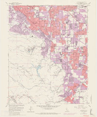
1961 Map of Cupertino
USGS Topo · Published 1969About this map
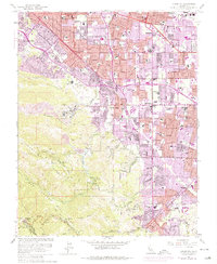
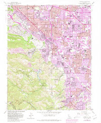
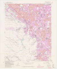
The Santa Clara Valley undergoes a massive transformation into a suburban landscape in this early 1960s snapshot. Dense residential growth, represented by purple tinting, expands from Cupertino and Sunnyvale toward the foothills of the Santa Cruz Mts. This era of development is anchored by significant institutional campuses, including De Anza College, Foothill College, and the sprawling St Joseph Seminary.
Find a feature on this map
81 named features on this map. Tap any name to fly to it.
Don’t see what you’re looking for? This feature index may not catch every label — zoom into the map to look around manually.
Map Details
Editions of this 1961 Cupertino Map
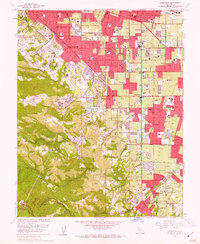
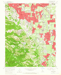
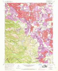
7 editions found
Other maps of this area

1889 · San Jose
USGS Topo · 1:62,500

1897 · San Jose
USGS Topo · 1:62,500

1897 · Palo Alto
USGS Topo · 1:62,500

1899 · San Jose
USGS Topo · 1:62,500

1899 · Palo Alto
USGS Topo · 1:62,500

1902 · Santa Cruz
USGS Topo · 1:125,000

1916 · New Almaden
USGS Topo · 1:48,000

1919 · New Almaden
USGS Topo · 1:62,500

1940 · Los Gatos
USGS Topo · 1:62,500

1941 · Palo Alto
USGS Topo · 1:62,500