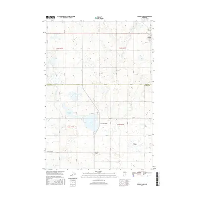
2016 Map of Current Lake
USGS Topo · Published 2016About this map
Balaton stands at the northeastern edge of this prairie landscape, where the headwaters of the Cottonwood River and Redwood River begin their drainage across the Coteau des Prairies. The map illustrates a region defined by its glacial history, featuring numerous depressions and basins such as Hjermstad Slough and the dry basins of Oscar Lakebed and Ivadelle Lakebed. These former lakebeds suggest a changing hydrological profile over time, offering a distinct record for those studying the agricultural and environmental history of the Lyon and Murray County line.
Find a feature on this map
50 named features on this map. Tap any name to fly to it.
Don’t see what you’re looking for? This feature index may not catch every label — zoom into the map to look around manually.
Map Details
Editions of this 2016 Current Lake Map
This is the sole edition of this map. No revisions or reprints were ever made.
Other maps of this area

1953 · Watertown
USGS Topo · 1:250,000

1953 · New Ulm
USGS Topo · 1:250,000

1957 · New Ulm
USGS Topo · 1:250,000

1958 · New Ulm
USGS Topo · 1:250,000

1958 · Watertown
USGS Topo · 1:250,000

1963 · Dead Coon Lake
USGS Topo · 1:24,000

1963 · Russell
USGS Topo · 1:24,000

1963 · Marshall SE
USGS Topo · 1:24,000

1967 · New Ulm
USGS Topo · 1:250,000

1967 · Balaton
USGS Topo · 1:24,000