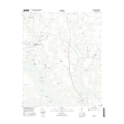
2016 Map of Currie
USGS Topo · Published 2016About this map
Moores Creek National Battlefield sits at the heart of this Pender County landscape, preserving the site of the 1776 Revolutionary War engagement. The surrounding area is defined by the complex hydrology of the Black River and its numerous tributaries, including Moores Creek, Long Creek, and Cane Creek. The terrain is characterized by a high density of named bays—depressions such as Ditch Bay, Lee-Hugh Bay, and Horsepen Bay—which punctuate the low-lying coastal plains.
Find a feature on this map
106 named features on this map. Tap any name to fly to it.
Don’t see what you’re looking for? This feature index may not catch every label — zoom into the map to look around manually.
Map Details
Editions of this 2016 Currie Map
This is the sole edition of this map. No revisions or reprints were ever made.
Other maps of this area

1942 · Burgaw
USGS Topo · 1:62,500

1947 · Rocky Point
USGS Topo · 1:62,500

1953 · Florence
USGS Topo · 1:250,000

1953 · Beaufort
USGS Topo · 1:250,000

1954 · Florence
USGS Topo · 1:250,000

1954 · Beaufort
USGS Topo · 1:250,000

1954 · Acme
USGS Topo · 1:62,500

1955 · Atkinson
USGS Topo · 1:62,500
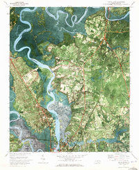
1970 · Castle Hayne
USGS Topo · 1:24,000
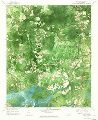
1970 · Rocky Point
USGS Topo · 1:24,000