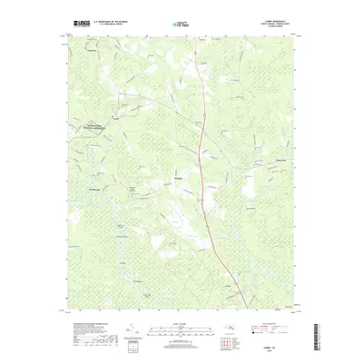
2019 Map of Currie
USGS Topo · Published 2019About this map
Moores Creek National Battlefield stands as a central historical landmark within this Pender County landscape, preserving the site of the 1776 Revolutionary War engagement. The surrounding terrain is defined by the intricate hydrology of the Black River and Moores Creek, where a complex network of wetlands and named bays like Horsepen Bay and Ditch Bay break up the low-lying coastal plains. This 2019 survey documents a rural environment where legacy family names are deeply etched into the geography, seen in the numerous small burial grounds such as Lamb Cem, Walker Cem, and Henry Cem. Small settlements like Currie, Montague, and The Borough anchor the local road network, while the presence of the Pettigrew Moore Aerodrome and distinct landforms such as Thorofare Island and Birds Cove Island highlight the specialized utility of the riverine and aerial corridors in this region of North Carolina.
Find a feature on this map
111 named features on this map. Tap any name to fly to it.
Don’t see what you’re looking for? This feature index may not catch every label — zoom into the map to look around manually.
Map Details
Editions of this 2019 Currie Map
This is the sole edition of this map. No revisions or reprints were ever made.
Other maps of this area

1942 · Burgaw
USGS Topo · 1:62,500

1947 · Rocky Point
USGS Topo · 1:62,500

1953 · Florence
USGS Topo · 1:250,000

1953 · Beaufort
USGS Topo · 1:250,000

1954 · Florence
USGS Topo · 1:250,000

1954 · Beaufort
USGS Topo · 1:250,000

1954 · Acme
USGS Topo · 1:62,500

1955 · Atkinson
USGS Topo · 1:62,500
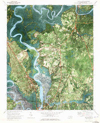
1970 · Castle Hayne
USGS Topo · 1:24,000
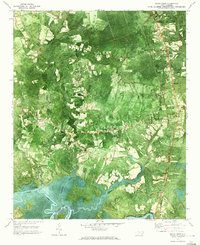
1970 · Rocky Point
USGS Topo · 1:24,000