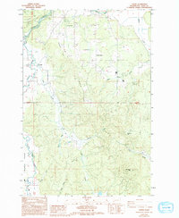
1986 Map of Curtis
USGS Topo · Published 1994About this map
The Chehalis River and its South Fork define the lowland geography of this Lewis County region, where the small settlements of Curtis and Ceres anchor the rural landscape. In the mid-1980s, the area's layout reflects a balance between the broad, open Boistfort Prairie and the rising timbered heights of Crego Hill and Sam Henry Mtn. The presence of the Crego Grange suggests a community centered on local agriculture and social gathering, a common thread in Washington's pioneer-settled valleys.
Find a feature on this map
21 named features on this map. Tap any name to fly to it.
Don’t see what you’re looking for? This feature index may not catch every label — zoom into the map to look around manually.
Map Details
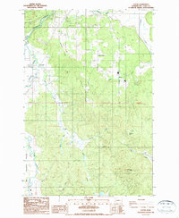
Editions of this 1986 Curtis Map
2 editions found
Other maps of this area

1916 · Chehalis
USGS Topo · 1:125,000

1941 · Meskill
USGS Topo · 1:62,500

1941 · Olequa
USGS Topo · 1:62,500

1953 · Hoquiam
USGS Topo · 1:250,000

1953 · Castle Rock
USGS Topo · 1:62,500

1953 · Ryderwood
USGS Topo · 1:62,500

1953 · Adna
USGS Topo · 1:62,500

1954 · Centralia
USGS Topo · 1:62,500

1957 · Hoquiam
USGS Topo · 1:250,000

1958 · Hoquiam
USGS Topo · 1:250,000