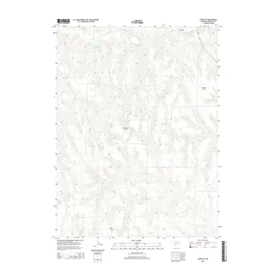
2014 Map of Curtis SE
USGS Topo · Published 2014About this map
Deeply dissected canyonlands south and east of Curtis characterize this section of Frontier County. The landscape is defined by the sharp transition between level upland agricultural fields and the complex drainage systems of Cottonwood Canyon and Saunders Canyon. These topographic features feed into various water bodies, including Medicine Cr Reservoir in the north and Gilliland Reservoir Number 1 toward the south.
Find a feature on this map
13 named features on this map. Tap any name to fly to it.
Don’t see what you’re looking for? This feature index may not catch every label — zoom into the map to look around manually.
Map Details
Editions of this 2014 Curtis SE Map
This is the sole edition of this map. No revisions or reprints were ever made.
Other maps of this area

1902 · Gothenburg
USGS Topo · 1:125,000

1954 · McCook
USGS Topo · 1:250,000

1956 · Curtis SW
USGS Topo · 1:24,000

1956 · Moorefield
USGS Topo · 1:24,000

1956 · Curtis NW
USGS Topo · 1:24,000

1956 · Quick NE
USGS Topo · 1:24,000

1956 · Curtis
USGS Topo · 1:24,000

1956 · Curtis SE
USGS Topo · 1:24,000

1956 · Stockville
USGS Topo · 1:24,000

1956 · Bartley NW
USGS Topo · 1:24,000