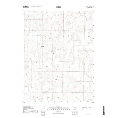
2017 Map of Curtis SE
USGS Topo · Published 2017About this map
Cottonwood Canyon and Saunders Canyon dominate the landscape southeast of Curtis, where the high plains of Frontier County are deeply dissected by drainage systems. This 2017 topographic survey highlights a region defined by water management and land stewardship, featuring several catchment areas such as Brown Reservoir, the NE School Land Reservoir, and Gilliland Reservoir Number 1. These small reservoirs, along with the significant Medicine Cr Reservoir 370, indicate the vital role of irrigation and water storage in this agrarian environment. Genealogy researchers will find the Lone Tree Cem positioned on the southern edge of the quadrangle. The map also delineates the winding courses of Frazier Creek, Cedar Cr, and Spring Cr, which have shaped the local topography into a complex network of ridges and draws.
Find a feature on this map
31 named features on this map. Tap any name to fly to it.
Don’t see what you’re looking for? This feature index may not catch every label — zoom into the map to look around manually.
Map Details
Editions of this 2017 Curtis SE Map
This is the sole edition of this map. No revisions or reprints were ever made.
Other maps of this area

1902 · Gothenburg
USGS Topo · 1:125,000

1954 · McCook
USGS Topo · 1:250,000

1956 · Curtis SW
USGS Topo · 1:24,000

1956 · Moorefield
USGS Topo · 1:24,000

1956 · Curtis NW
USGS Topo · 1:24,000

1956 · Quick NE
USGS Topo · 1:24,000

1956 · Curtis
USGS Topo · 1:24,000

1956 · Curtis SE
USGS Topo · 1:24,000

1956 · Stockville
USGS Topo · 1:24,000

1956 · Bartley NW
USGS Topo · 1:24,000