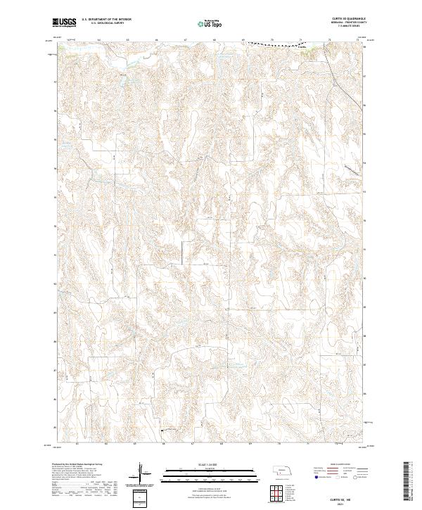
2021 Map of Curtis SE
USGS Topo · Published 2021About this map
The high plains of Frontier County are deeply carved by a network of seasonal drainages and canyons, defining a landscape of agricultural water management. The northern reaches of the Medicine Cr Reservoir 370 and the smaller NE School Land Reservoir suggest a reliance on these captured waters for the surrounding ranchlands. The terrain is marked by significant topographic features like Cottonwood Canyon and Saunders Canyon, which channel intermittent flows toward the larger valley systems.
Find a feature on this map
30 named features on this map. Tap any name to fly to it.
Don’t see what you’re looking for? This feature index may not catch every label — zoom into the map to look around manually.
Map Details
Editions of this 2021 Curtis SE Map
This is the sole edition of this map. No revisions or reprints were ever made.
Other maps of this area

1902 · Gothenburg
USGS Topo · 1:125,000

1954 · McCook
USGS Topo · 1:250,000

1956 · Curtis SW
USGS Topo · 1:24,000

1956 · Moorefield
USGS Topo · 1:24,000

1956 · Curtis NW
USGS Topo · 1:24,000

1956 · Quick NE
USGS Topo · 1:24,000

1956 · Curtis
USGS Topo · 1:24,000

1956 · Curtis SE
USGS Topo · 1:24,000

1956 · Stockville
USGS Topo · 1:24,000

1956 · Bartley NW
USGS Topo · 1:24,000