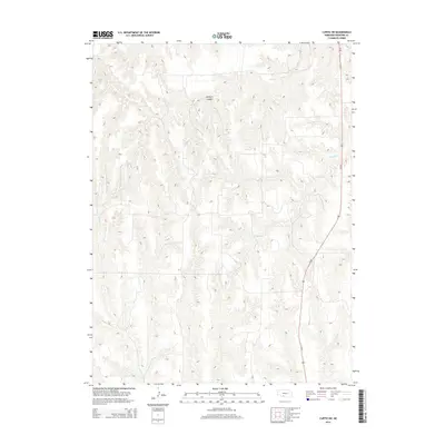
2014 Map of Curtis SW
USGS Topo · Published 2014About this map
Elkhorn Canyon dominates the central landscape of this western Nebraska terrain, illustrating the deeply dissected drainage patterns typical of the Frontier County uplands. The area is defined by its intermittent watercourses and the infrastructure that connects these agricultural expanses. Us-83 cuts a diagonal path across the eastern portion of the sheet, serving as the primary transit artery through this rural corridor. This modern topographic record captures the complex network of draws and ridges that feed into Frazier Cr and Spring Cr, showing the relationship between natural geography and the highway system in the early 21st century.
Find a feature on this map
4 named features on this map. Tap any name to fly to it.
Don’t see what you’re looking for? This feature index may not catch every label — zoom into the map to look around manually.
Map Details
Editions of this 2014 Curtis SW Map
This is the sole edition of this map. No revisions or reprints were ever made.
Other maps of this area

1954 · McCook
USGS Topo · 1:250,000

1956 · White NE
USGS Topo · 1:24,000

1956 · Curtis SW
USGS Topo · 1:24,000

1956 · Curtis NW
USGS Topo · 1:24,000

1956 · Quick NE
USGS Topo · 1:24,000

1956 · Curtis
USGS Topo · 1:24,000

1956 · Curtis SE
USGS Topo · 1:24,000

1957 · McCook
USGS Topo · 1:250,000

1958 · McCook
USGS Topo · 1:250,000

1970 · Quick
USGS Topo · 1:24,000