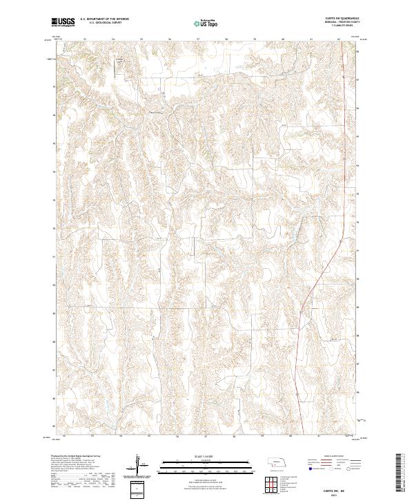
2021 Map of Curtis SW
USGS Topo · Published 2021About this map
Frontier Field lies in the northern reaches of this territory, where the Nebraska prairie is defined by a dense network of drainage channels and coulees. The landscape is carved by watercourses like Frazier Cr and Spring Cr, which have created the steep-walled Elkhorn Canyon. This 2021 survey shows a geometric grid of rural roads, such as Rd 381 and Rd 744, cutting across the natural topography. The map illustrates how human development in this part of Frontier County conforms strictly to the Public Land Survey System boundaries, with section lines and gravel roads navigating the broken ground of the High Plains.
Find a feature on this map
19 named features on this map. Tap any name to fly to it.
Don’t see what you’re looking for? This feature index may not catch every label — zoom into the map to look around manually.
Map Details
Editions of this 2021 Curtis SW Map
This is the sole edition of this map. No revisions or reprints were ever made.
Other maps of this area

1954 · McCook
USGS Topo · 1:250,000

1956 · White NE
USGS Topo · 1:24,000

1956 · Curtis SW
USGS Topo · 1:24,000

1956 · Curtis NW
USGS Topo · 1:24,000

1956 · Quick NE
USGS Topo · 1:24,000

1956 · Curtis
USGS Topo · 1:24,000

1956 · Curtis SE
USGS Topo · 1:24,000

1957 · McCook
USGS Topo · 1:250,000

1958 · McCook
USGS Topo · 1:250,000

1970 · Quick
USGS Topo · 1:24,000