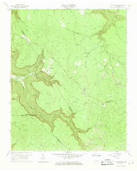
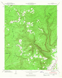
1960 Map of Curtistown
USGS Topo · Published 1969About this map
Curtistown and Chalybeate anchor this Cumberland Plateau landscape, surveyed in 1960. The topography is defined by the deep incision of Dry Creek and Laurel Creek, which carve significant gorges through the terrain near High Rock. This survey documents a complex network of county lines, where the boundaries of Warren, Van Buren, Sequatchie, and Grundy counties meet amidst a landscape of winding streams and hollows. Evidence of mid-century industrial activity is visible at various Strip Mine sites and an Old Target Area, indicating a mix of resource extraction and tactical land use.
Find a feature on this map
31 named features on this map. Tap any name to fly to it.
Don’t see what you’re looking for? This feature index may not catch every label — zoom into the map to look around manually.
Map Details
Editions of this 1960 Curtistown Map
3 editions found
Other maps of this area

1888 · Chattanooga
USGS Topo · 1:125,000

1892 · Pikeville
USGS Topo · 1:125,000

1893 · Mc Minnville
USGS Topo · 1:125,000

1893 · Chattanooga
USGS Topo · 1:125,000

1895 · Mc Minnville
USGS Topo · 1:125,000

1895 · Sewanee
USGS Topo · 1:125,000

1895 · Pikeville
USGS Topo · 1:125,000

1935 · Smart Mountain
USGS Topo · 1:24,000
1936 · Savage Point
USGS Topo · 1:24,000
1946 · Savage Point
USGS Topo · 1:24,000