
1964 Map of Cuthand
USGS Topo · Published 1967About this map
Cuthand sits at the center of this 1964 survey, an area defined by the meandering waters along the Red River Co Titus Co line. The landscape is heavily influenced by the drainage of the Sulphur River and its numerous oxbow formations, including Horseshoe Lake, Elbow Lake, and Brushy Lake. The map reveals the industrial footprint of the era through the Trix-Liz Oil Field and scattered oil wells in the southern bottoms near Timber Lake. Local transit and social history are anchored by an Old RR Grade cutting through the southwest corner and landmarks like McKinzie Ch and a local Cem. The map documents a complex network of waterways, from the primary channel of the Sulphur River to smaller tributaries such as Whiteoak Creek and Maple Creek, which together shaped the settlement patterns and agricultural layout of this Northeast Texas region.
Find a feature on this map
26 named features on this map. Tap any name to fly to it.
Don’t see what you’re looking for? This feature index may not catch every label — zoom into the map to look around manually.
Map Details
Editions of this 1964 Cuthand Map
This is the sole edition of this map. No revisions or reprints were ever made.
Other maps of this area

1950 · Annona
USGS Topo · 1:24,000

1951 · Annona
USGS Topo · 1:24,000

1953 · Texarkana
USGS Topo · 1:250,000

1956 · Texarkana
USGS Topo · 1:250,000

1964 · Wilkinson
USGS Topo · 1:24,000

1964 · Talco
USGS Topo · 1:24,000

1964 · Hagansport
USGS Topo · 1:24,000

1964 · Bogata
USGS Topo · 1:24,000
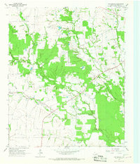
1964 · Line Branch
USGS Topo · 1:24,000
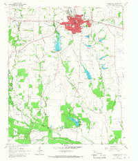
1964 · Clarksville
USGS Topo · 1:24,000