2022 Map of Cuthbert
USGS Topo · Published 2022About this map
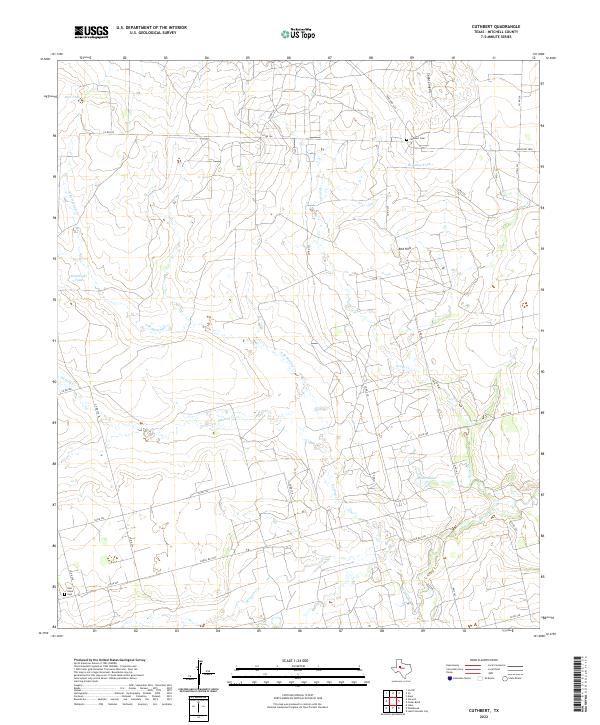
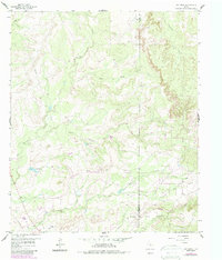
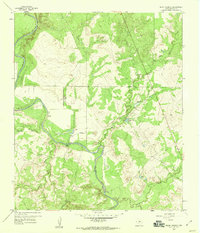
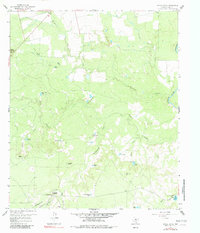
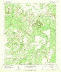
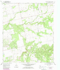
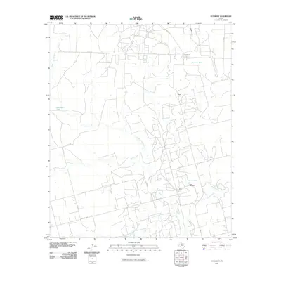
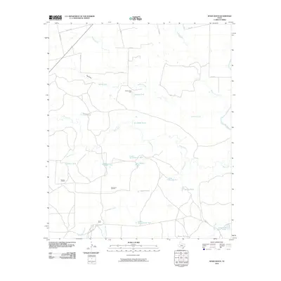
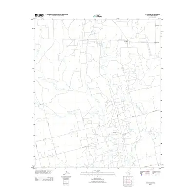
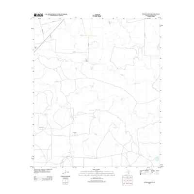
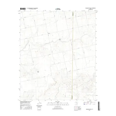
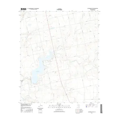
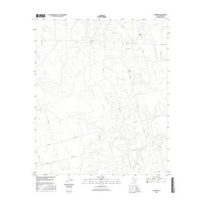
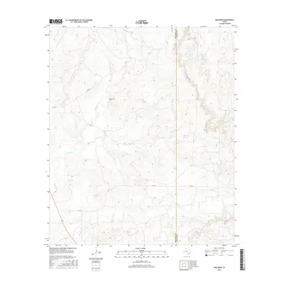
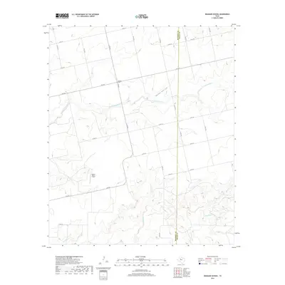
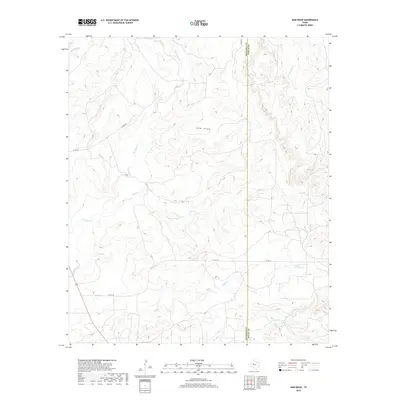
The Red Hills rise above a landscape defined by an intricate network of intermittent drainage and rural ranching infrastructure in this part of Mitchell County. Water management is central to the area's geography, evidenced by features such as Bert Tank, Bozeman Tank, and the larger Butler Lake. These engineered water sources support the surrounding terrain where Graze Cr and Morgan Cr wind through the ranch lands. Local history and family ties are anchored at the Cuthbert Cem in the north and the New Hope Cem in the southwest corner. The map traces the transition of local transportation from the primary corridors of Hwy 163 and Hwy 1229 to a dense grid of county roads, including Co Rd 234 and Co Rd 226, which connect the isolated homesteads and ranching operations characteristic of this West Texas region.
Find a feature on this map
33 named features on this map. Tap any name to fly to it.
Don’t see what you’re looking for? This feature index may not catch every label — zoom into the map to look around manually.
Map Details
Editions of this 2022 Cuthbert Map
This is the sole edition of this map. No revisions or reprints were ever made.
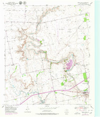
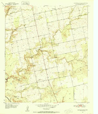
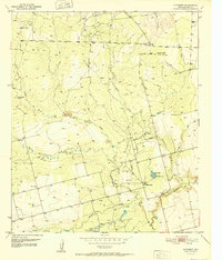
Historical Maps of Cuthbert Through Time
48 maps found
1950 Cedar Bend
Mitchell County, TX
1950 Colorado City SE
Mitchell County, TX
1952 Cuthbert
Mitchell County, TX
1959 Dam Draw
Mitchell County, TX
1959 Pecan Crossing
Mitchell County, TX
1959 Spade Ranch
Mitchell County, TX
1962 Hyman NE
Mitchell County, TX
1969 Baumann School
Mitchell County, TX
2010 Baumann School
Mitchell County, TX
2010 Cedar Bend
Mitchell County, TX
2010 Colorado City SE
Mitchell County, TX
2010 Cuthbert
Mitchell County, TX
2010 Dam Draw
Mitchell County, TX
2010 Hyman NE
Mitchell County, TX
2010 Pecan Crossing
Mitchell County, TX
2010 Spade Ranch
Mitchell County, TX
2012 Baumann School
Mitchell County, TX
2012 Cedar Bend
Mitchell County, TX
2012 Colorado City SE
Mitchell County, TX
2012 Cuthbert
Mitchell County, TX
2012 Dam Draw
Mitchell County, TX
2012 Hyman NE
Mitchell County, TX
2012 Pecan Crossing
Mitchell County, TX
2012 Spade Ranch
Mitchell County, TX
2016 Baumann School
Mitchell County, TX

2016 Cedar Bend
Mitchell County, TX
2016 Colorado City SE
Mitchell County, TX
2016 Cuthbert
Mitchell County, TX
2016 Dam Draw
Mitchell County, TX
2016 Hyman NE
Mitchell County, TX
2016 Pecan Crossing
Mitchell County, TX
2016 Spade Ranch
Mitchell County, TX
2019 Baumann School
Mitchell County, TX
2019 Cedar Bend
Mitchell County, TX
2019 Colorado City SE
Mitchell County, TX
2019 Cuthbert
Mitchell County, TX
2019 Dam Draw
Mitchell County, TX
2019 Hyman NE
Mitchell County, TX
2019 Pecan Crossing
Mitchell County, TX
2019 Spade Ranch
Mitchell County, TX
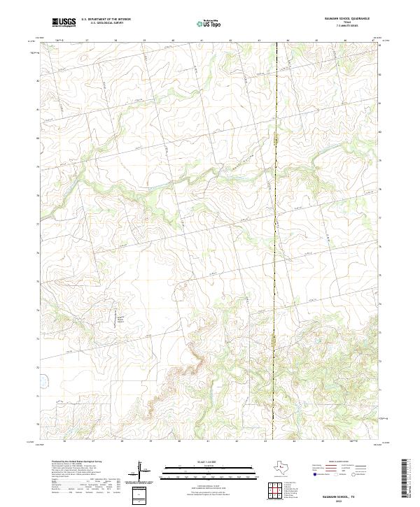
2022 Baumann School
Mitchell County, TX
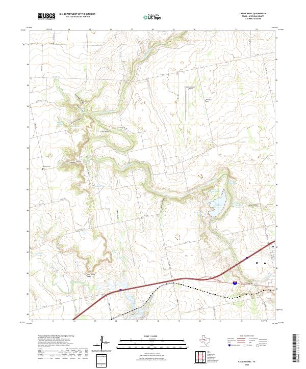
2022 Cedar Bend
Mitchell County, TX
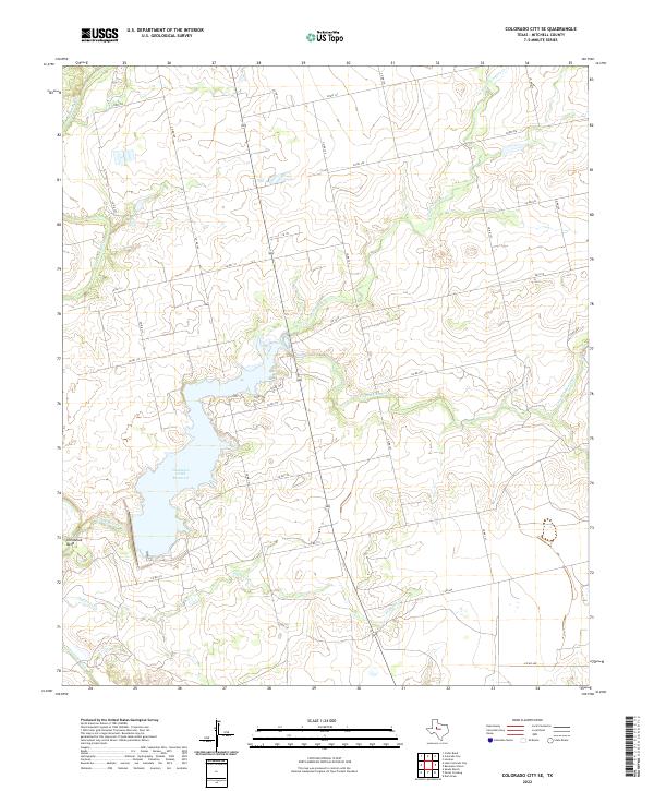
2022 Colorado City SE
Mitchell County, TX
2022 Cuthbert
Mitchell County, TX
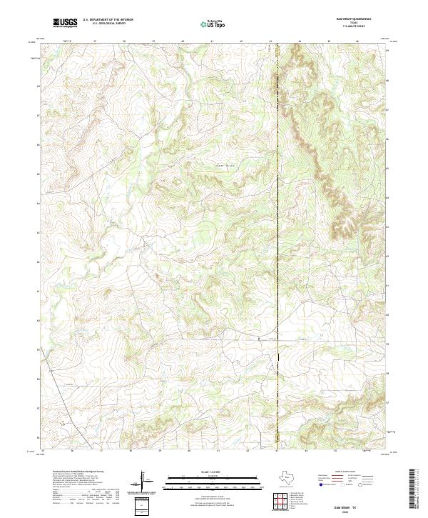
2022 Dam Draw
Mitchell County, TX
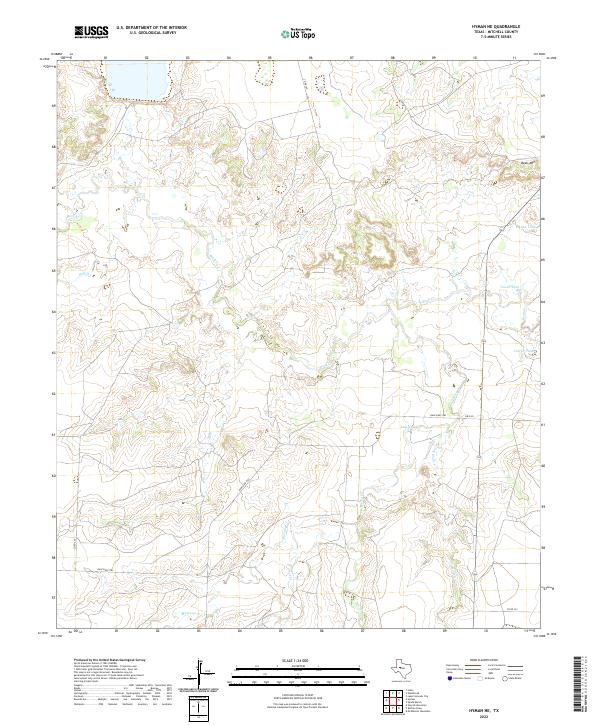
2022 Hyman NE
Mitchell County, TX
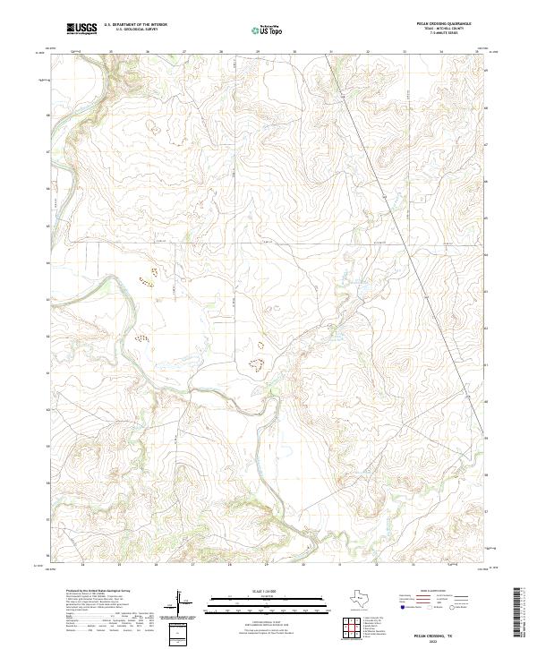
2022 Pecan Crossing
Mitchell County, TX
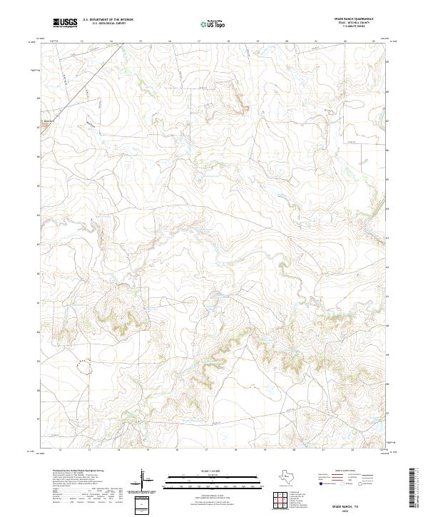
2022 Spade Ranch
Mitchell County, TX