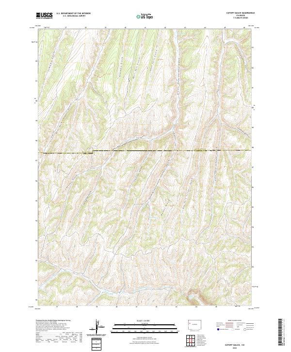
2022 Map of Cutoff Gulch
USGS Topo · Published 2022About this map
Barnes Ridge stands as a central topographic divide in this high-elevation landscape, where the Rio Blanco and Garfield county lines intersect. The area is defined by an intricate drainage system, with steep gullies like Cutoff Gulch and Porcupine Gulch carving into the plateau. These deep incisions eventually feed into the W Fork Parachute Cr and the notable West Fork Falls in the southern reaches of the sheet. Local water sources are sparse but critical, marked by several named points including Barnes Spring, Bragg Spring, and Crouch Spring. This terrain reflects the complex hydrology of the Piceance Basin, where the network of namesake gulches—such as Stewart Gulch and Cottonwood Gulch—dictates the movement and settlement patterns of this secluded portion of the Western Slope.
Find a feature on this map
32 named features on this map. Tap any name to fly to it.
Don’t see what you’re looking for? This feature index may not catch every label — zoom into the map to look around manually.
Map Details
Editions of this 2022 Cutoff Gulch Map
This is the sole edition of this map. No revisions or reprints were ever made.
Other maps of this area

1925 · Parachute Creek
USGS Topo · 1:62,500

1927 · Parachute Creek
USGS Topo · 1:62,500

1929 · Highmore
USGS Topo · 1:62,500

1952 · Rock School
USGS Topo · 1:24,000

1952 · Jessup Gulch
USGS Topo · 1:24,000

1952 · No Name Ridge
USGS Topo · 1:24,000

1956 · Grand Junction
USGS Topo · 1:250,000

1959 · Grand Junction
USGS Topo · 1:250,000

1960 · Grand Junction
USGS Topo · 1:250,000

1962 · Grand Junction
USGS Topo · 1:250,000