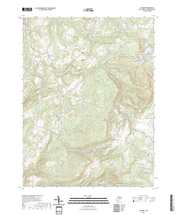
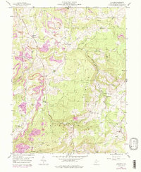
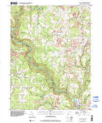
2023 Map of Cuzzart
USGS Topo · Published 2023About this map
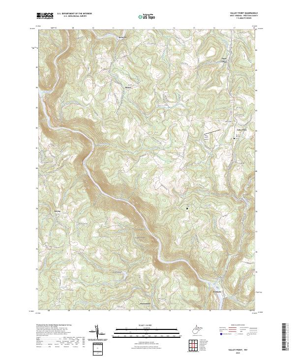
Cuzzart and the surrounding highlands of Preston County are defined by a network of rural settlements and family-named landmarks connected by winding mountain roads. This modern survey illustrates a landscape of high ridges and deep runs, where small communities like Lenox, Orr, and Afton are situated along historic routes such as the Brandonville Pike and Cuzzart Rd. The mapping of small burial grounds like Parnell Cem and Miller Cem alongside former educational sites such as the Crane School East End and White Oak School provides essential spatial context for family historians.
Find a feature on this map
122 named features on this map. Tap any name to fly to it.
Don’t see what you’re looking for? This feature index may not catch every label — zoom into the map to look around manually.
Map Details
Editions of this 2023 Cuzzart Map
This is the sole edition of this map. No revisions or reprints were ever made.
Historical Maps of Cuzzart Through Time
13 maps found
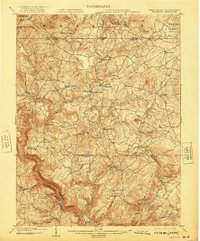
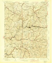
1904 Bruceton
Preston County, WV
1907 Thornton
Preston County, WV
1926 Bruceton
Preston County, WV
1926 Thornton
Preston County, WV
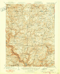
1933 Bruceton
Preston County, WV
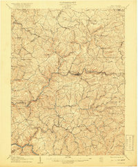
1958 Fellowsville
Preston County, WV
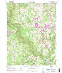
1959 Cuzzart
Preston County, WV
1959 Valley Point
Preston County, WV
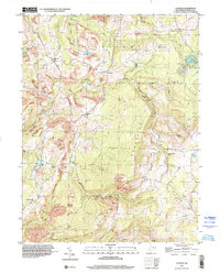
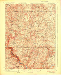
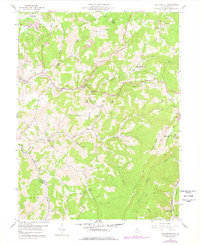
1997 Cuzzart
Preston County, WV
1997 Valley Point
Preston County, WV
2023 Cuzzart
Preston County, WV
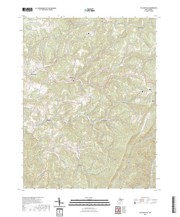
2023 Fellowsville
Preston County, WV
2023 Valley Point
Preston County, WV