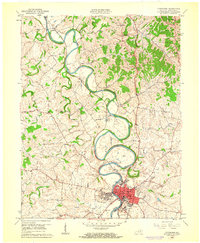
1961 Map of Cynthiana
USGS Topo · Published 1962About this map
The South Fork Licking River carves dramatic, tight meanders through the Kentucky limestone as it flows north toward Robinson. Along this winding corridor, the Louisville and Nashville railroad follows the river valley, connecting the county seat of Cynthiana with smaller outposts like Poindexter and Garnett. In the early 1960s, Cynthiana served as a dense hub of civic life, anchored by its Court House, Harrison Hospital, and a concentration of schools including the Banneker Sch and Marshall Sch. The landscape is dotted with ancestral landmarks, from Colbys Store in the north to numerous rural burial grounds such as Union Cem and Battle Grove Cem. This survey captures the transition of a traditional Bluegrass river town as modern infrastructure like the Sewage Disposal plant began to appear alongside long-established rural churches and family-named landmarks like Mt Pleasant.
Find a feature on this map
34 named features on this map. Tap any name to fly to it.
Don’t see what you’re looking for? This feature index may not catch every label — zoom into the map to look around manually.
Map Details
Editions of this 1961 Cynthiana Map
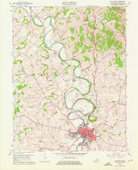
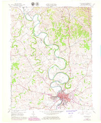
3 editions found
Other maps of this area

1929 · Cynthiana
USGS Topo · 1:48,000

1930 · Falmouth
USGS Topo · 1:48,000

1934 · Cynthiana
USGS Topo · 1:62,500

1936 · Falmouth
USGS Topo · 1:62,500

1952 · Shady Nook
USGS Topo · 1:24,000

1952 · Claysville
USGS Topo · 1:24,000

1953 · Millersburg
USGS Topo · 1:24,000

1953 · Berry
USGS Topo · 1:24,000

1953 · Breckinridge
USGS Topo · 1:24,000

1953 · Kelat
USGS Topo · 1:24,000