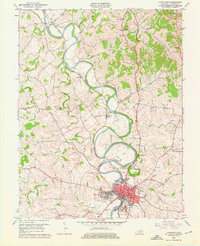
1961 Map of Cynthiana
USGS Topo · Published 1976About this map
The South Fork Licking River carves a highly sinuous path through the limestone landscape of Harrison County, creating dramatic meanders that define the local geography. At the heart of this network lies Cynthiana, where the Louisville and Nashville railroad runs parallel to the river's edge, anchoring the town's industrial and transport identity. The map provides a clear view of the mid-century civic infrastructure, including the Court House, Post Office, and Harrison Hospital.
Find a feature on this map
36 named features on this map. Tap any name to fly to it.
Don’t see what you’re looking for? This feature index may not catch every label — zoom into the map to look around manually.
Map Details
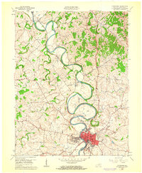
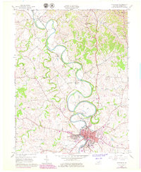
Editions of this 1961 Cynthiana Map
3 editions found
Other maps of this area

1929 · Cynthiana
USGS Topo · 1:48,000

1930 · Falmouth
USGS Topo · 1:48,000

1934 · Cynthiana
USGS Topo · 1:62,500

1936 · Falmouth
USGS Topo · 1:62,500

1952 · Shady Nook
USGS Topo · 1:24,000

1952 · Claysville
USGS Topo · 1:24,000

1953 · Millersburg
USGS Topo · 1:24,000

1953 · Berry
USGS Topo · 1:24,000

1953 · Breckinridge
USGS Topo · 1:24,000

1953 · Kelat
USGS Topo · 1:24,000