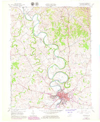
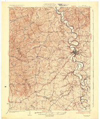
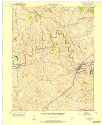
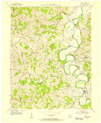
1961 Map of Cynthiana
USGS Topo · Published 1979About this map
The South Fork Licking River carves deep, dramatic meanders through the central Kentucky landscape, anchored by the seat of Harrison County at Cynthiana. This 1960s-era topography, updated with late 1970s urban revisions, reveals a town tightly integrated with its geography. Key civic institutions are clustered south of the river bend, including the Court House, Harrison Hospital, and a network of educational sites like Banneker Sch and Marshall Sch.
Find a feature on this map
35 named features on this map. Tap any name to fly to it.
Don’t see what you’re looking for? This feature index may not catch every label — zoom into the map to look around manually.
Map Details
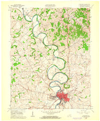
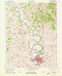
Editions of this 1961 Cynthiana Map
3 editions found
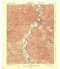
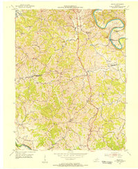
Other maps of this area
1929 · Cynthiana
USGS Topo · 1:48,000

1930 · Falmouth
USGS Topo · 1:48,000
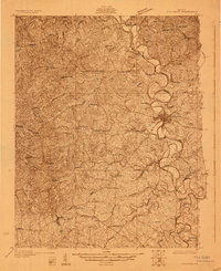
1934 · Cynthiana
USGS Topo · 1:62,500
1936 · Falmouth
USGS Topo · 1:62,500
1952 · Shady Nook
USGS Topo · 1:24,000
1952 · Claysville
USGS Topo · 1:24,000
1953 · Millersburg
USGS Topo · 1:24,000
1953 · Berry
USGS Topo · 1:24,000
1953 · Breckinridge
USGS Topo · 1:24,000
1953 · Kelat
USGS Topo · 1:24,000