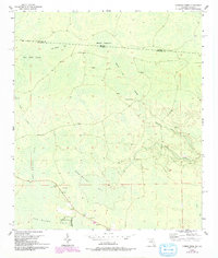
1955 Map of Cypress Creek
USGS Topo · Published 1993About this map
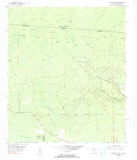
Bee Haven Bay dominates the low-lying terrain of the Florida-Georgia borderlands, where the landscape is defined by an intricate network of wetlands and sluggish watercourses. This area along the Georgia Florida state line reveals a wilderness of significant hydrology, including Christmas Bay and the expansive Rice Field Swamp. The presence of the Watson Line and the Echols Co Hamilton Co boundary highlights the administrative divisions cutting through these dense marshes.
Find a feature on this map
13 named features on this map. Tap any name to fly to it.
Don’t see what you’re looking for? This feature index may not catch every label — zoom into the map to look around manually.
Map Details
Editions of this 1955 Cypress Creek Map
6 editions found
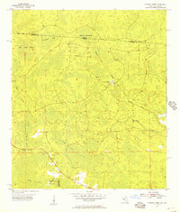
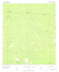
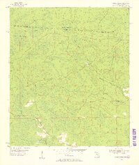
Other maps of this area

1954 · Valdosta
USGS Topo · 1:250,000

1955 · Jasper
USGS Topo · 1:24,000

1955 · Cypress Creek
USGS Topo · 1:24,000

1955 · Fargo SW
USGS Topo · 1:24,000

1958 · Valdosta
USGS Topo · 1:250,000

1959 · Valdosta
USGS Topo · 1:250,000

1961 · Hillcoat
USGS Topo · 1:24,000

1962 · Genoa
USGS Topo · 1:24,000

1968 · Needmore
USGS Topo · 1:24,000
1969 · Benton
USGS Topo · 1:24,000