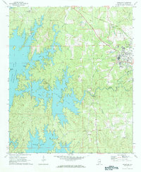
1971 Map of Dadeville
USGS Topo · Published 1984About this map
Dadeville and North Dadeville anchor the eastern plateau of this Tallapoosa County landscape, where the Central of Georgia railroad cuts a diagonal path toward the northwest. To the west, the intricate, branching shoreline of Martin Lake dominates the topography, flooding the valleys of Manoy Creek and Madwin Creek. This 1971 field-checked survey illustrates the transition from the structured street grid and industrial assets of the county seat—marked by its Water Tank and Sewage Disposal Pond—to the recreation-oriented fringes of Youngs Landing and Youngs Island.
Find a feature on this map
37 named features on this map. Tap any name to fly to it.
Don’t see what you’re looking for? This feature index may not catch every label — zoom into the map to look around manually.
Map Details
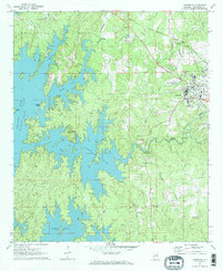
Editions of this 1971 Dadeville Map
3 editions found
Other maps of this area

1906 · Dadeville
USGS Topo · 1:125,000

1955 · Phenix City
USGS Topo · 1:250,000

1957 · Phenix City
USGS Topo · 1:250,000

1958 · Phenix City
USGS Topo · 1:250,000
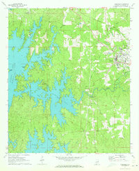
1971 · Dadeville
USGS Topo · 1:24,000

1971 · Ponders
USGS Topo · 1:24,000
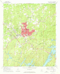
1971 · Alexander City
USGS Topo · 1:24,000
1971 · Buttston
USGS Topo · 1:24,000
1971 · Camp Hill
USGS Topo · 1:24,000

1971 · Thornton
USGS Topo · 1:24,000