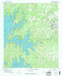
1971 Map of Dadeville
USGS Topo · Published 1984About this map
Dadeville stands as a focal point of development in eastern Alabama, positioned where the Georgia Central railroad cuts through the landscape toward the waters of Martin Lake. The topography is dominated by the intricate, finger-like inlets of the reservoir, which submerged much of the low-lying terrain of the Tallapoosa River valley. Prominent elevations like Smith Mountain, complete with its Lookout Tower, and Youngs Island remain above the 490-foot waterline, creating a complex shoreline that defined the region's mid-century character.
Find a feature on this map
33 named features on this map. Tap any name to fly to it.
Don’t see what you’re looking for? This feature index may not catch every label — zoom into the map to look around manually.
Map Details
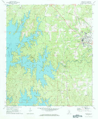
Editions of this 1971 Dadeville Map
3 editions found
Other maps of this area

1906 · Dadeville
USGS Topo · 1:125,000

1955 · Phenix City
USGS Topo · 1:250,000

1957 · Phenix City
USGS Topo · 1:250,000

1958 · Phenix City
USGS Topo · 1:250,000
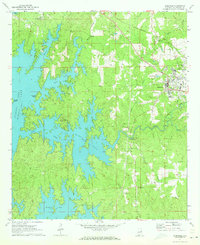
1971 · Dadeville
USGS Topo · 1:24,000

1971 · Ponders
USGS Topo · 1:24,000
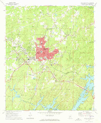
1971 · Alexander City
USGS Topo · 1:24,000
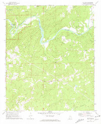
1971 · Buttston
USGS Topo · 1:24,000
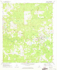
1971 · Camp Hill
USGS Topo · 1:24,000

1971 · Thornton
USGS Topo · 1:24,000