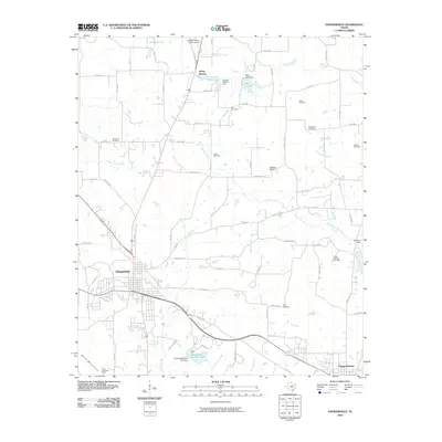
2010 Map of Daingerfield
USGS Topo · Published 2010About this map
Daingerfield and Hughes Springs anchor this East Texas landscape, reflecting a region defined by its timbered hills and the reach of the Black Mountains. The topography is intricately carved by Black Cypress Creek and its many tributaries, such as Brutons Creek and Peacock Creek. Local history and genealogy researchers will find an exceptional density of family and community burial grounds, including the Whitmore, Jones, Hall, and Bethlehem Cemetery. To the south, the industrial and recreational character of the county is evident at the Black Mountain Mine and Daingerfield State Park, centered around the Daingerfield State Park Lake. Small water impoundments like Jerome Wolfson Lake and Minor Lake dot the northern reaches, while the Greater Morris County Airport sits near the settlement of Rocky Branch, marking the intersection of traditional rural life and modern infrastructure.
Find a feature on this map
81 named features on this map. Tap any name to fly to it.
Don’t see what you’re looking for? This feature index may not catch every label — zoom into the map to look around manually.
Map Details
Editions of this 2010 Daingerfield Map
This is the sole edition of this map. No revisions or reprints were ever made.
Other maps of this area

1914 · Daingerfield
USGS Topo · 1:62,500

1953 · Texarkana
USGS Topo · 1:250,000

1956 · Texarkana
USGS Topo · 1:250,000

1956 · Tyler
USGS Topo · 1:250,000

1960 · La Fayette
USGS Topo · 1:24,000

1962 · Avinger
USGS Topo · 1:24,000

1962 · Lone Star
USGS Topo · 1:24,000

1964 · Daingerfield
USGS Topo · 1:24,000

1964 · Cason
USGS Topo · 1:24,000

1965 · Marietta
USGS Topo · 1:24,000