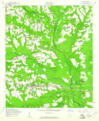
1958 Map of Daisy
USGS Topo · Published 1961About this map
The settlement of Daisy serves as the focal point along the Seaboard Air Line railroad, illustrating the mid-century rural development of Evans County. This landscape is defined by its extensive water systems, where the Canoochee River and Lotts Creek wind through the terrain, supporting a network of small industry and family-named landmarks. Multiple mill sites, including Bowen Mill, De Loach Mill, and Anderson Mill, speak to a local economy historically tied to water power and timber. Local genealogy is well-represented through numerous church and school sites such as St Luke Ch, Pleasant Ch, and Canoochee Sch, along with family burial grounds like the De Loach and Moore Cem and Rogers Cem. The map provides a clear picture of the tri-county border area where Evans, Bulloch, and Bryan counties meet, showing a patchwork of wooded areas and agricultural clearings.
Find a feature on this map
47 named features on this map. Tap any name to fly to it.
Don’t see what you’re looking for? This feature index may not catch every label — zoom into the map to look around manually.
Map Details
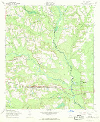
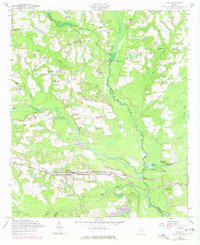
Editions of this 1958 Daisy Map
Other maps of this area

1919 · Claxton
USGS Topo · 1:62,500

1920 · Pembroke
USGS Topo · 1:62,500

1920 · Statesboro
USGS Topo · 1:62,500

1921 · Brooklet
USGS Topo · 1:62,500

1943 · Brooklet
USGS Topo · 1:62,500

1943 · Statesboro
USGS Topo · 1:62,500

1944 · Claxton
USGS Topo · 1:62,500

1947 · Savannah
USGS Topo · 1:250,000

1948 · Savannah
USGS Topo · 1:250,000

1948 · Pembroke
USGS Topo · 1:62,500