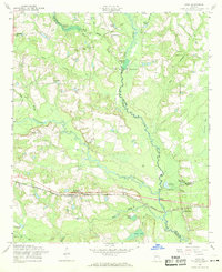
1958 Map of Daisy
USGS Topo · Published 1969About this map
The Seaboard Air Line railroad corridor serves as the primary East-West axis for the settlement of Daisy, where the local social fabric is anchored by the St Luke Ch. This late-1950s landscape is defined by the convergence of the Canoochee River and Lotts Creek, with numerous family-named impoundments reflecting a history of small-scale water power and milling. Landmarks like Anderson Mill and Bowen Mill sit near the county lines of Bulloch, Evans, and Bryan. The rural character of the area is underscored by the distribution of small community centers such as Edna and Overbrook, alongside several country churches and schools including the Canoochee Sch and Pleasant Ch. Genealogists will find significant value in the documentation of family burial sites such as Rogers Cem and Sands Cem, which are situated near established family ponds.
Find a feature on this map
45 named features on this map. Tap any name to fly to it.
Don’t see what you’re looking for? This feature index may not catch every label — zoom into the map to look around manually.
Map Details
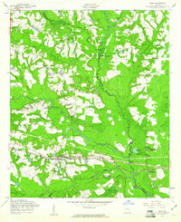
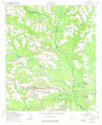
Editions of this 1958 Daisy Map
Other maps of this area

1919 · Claxton
USGS Topo · 1:62,500

1920 · Pembroke
USGS Topo · 1:62,500

1920 · Statesboro
USGS Topo · 1:62,500

1921 · Brooklet
USGS Topo · 1:62,500

1943 · Brooklet
USGS Topo · 1:62,500

1943 · Statesboro
USGS Topo · 1:62,500

1944 · Claxton
USGS Topo · 1:62,500

1947 · Savannah
USGS Topo · 1:250,000

1948 · Savannah
USGS Topo · 1:250,000

1948 · Pembroke
USGS Topo · 1:62,500