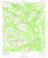
1958 Map of Daisy
USGS Topo · Published 1977About this map
Daisy and the surrounding coastal plain of Georgia appear at a crossroads of rail and river commerce in this mid-century period. The Seaboard Coast Line railroad forms the primary corridor through the settlement, passing near St Luke Ch and the small station at Edna. The landscape is defined by the winding course of the Canoochee River and Lotts Creek, where multiple mill sites like Bowen Mill and the De Loach and Moore Mill speak to the area's agricultural and industrial reliance on local waterways. Numerous family-named ponds, including J W De Loach Ponds and Akins Pond, are scattered across the terrain, reflecting established landholdings and rural development patterns. Local community life is anchored by landmarks such as the Canoochee Sch, Pleasant Ch, and several cemeteries including Edwards Cem, which provide significant points of interest for genealogical research in this part of Evans and Bulloch counties.
Find a feature on this map
50 named features on this map. Tap any name to fly to it.
Don’t see what you’re looking for? This feature index may not catch every label — zoom into the map to look around manually.
Map Details
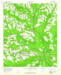
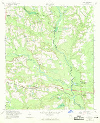
Editions of this 1958 Daisy Map
Other maps of this area

1919 · Claxton
USGS Topo · 1:62,500

1920 · Pembroke
USGS Topo · 1:62,500

1920 · Statesboro
USGS Topo · 1:62,500

1921 · Brooklet
USGS Topo · 1:62,500

1943 · Brooklet
USGS Topo · 1:62,500

1943 · Statesboro
USGS Topo · 1:62,500

1944 · Claxton
USGS Topo · 1:62,500

1947 · Savannah
USGS Topo · 1:250,000

1948 · Savannah
USGS Topo · 1:250,000

1948 · Pembroke
USGS Topo · 1:62,500