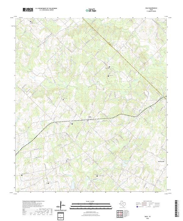
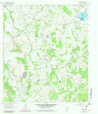
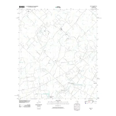
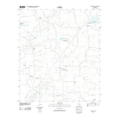
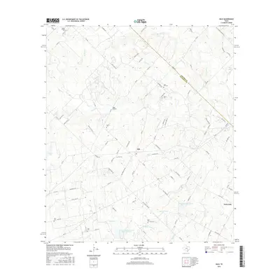
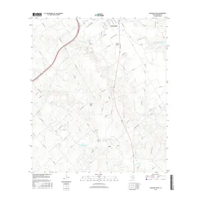
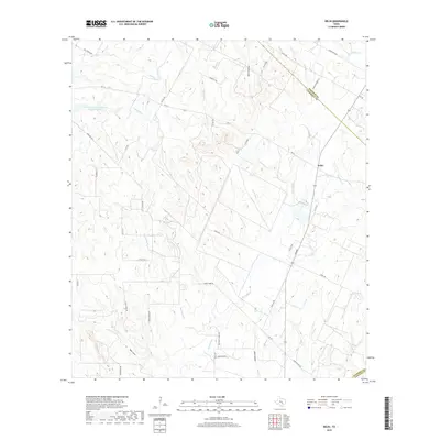
2022 Map of Dale
USGS Topo · Published 2022About this map
The settlement of Dale and the nearby community of Taylorsville anchor this survey of the Central Texas interior. The landscape is defined by a dense network of watercourses, including Walnut Cr, Lytton Cr, and Brushy Cr, which carve through the terrain and dictate the historic settlement patterns seen in the local road network.
Find a feature on this map
99 named features on this map. Tap any name to fly to it.
Don’t see what you’re looking for? This feature index may not catch every label — zoom into the map to look around manually.
Map Details
Editions of this 2022 Dale Map
This is the sole edition of this map. No revisions or reprints were ever made.
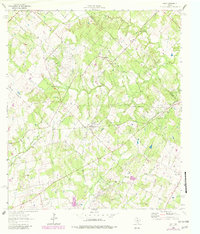
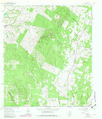
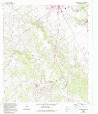
Historical Maps of Saint Johns Colony Through Time
32 maps found
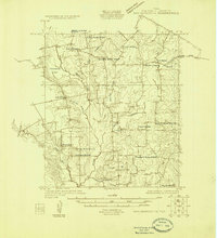
1925 San Marcos 1-d
Caldwell County, TX
1925 San Marcos 4-a
Caldwell County, TX
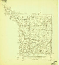
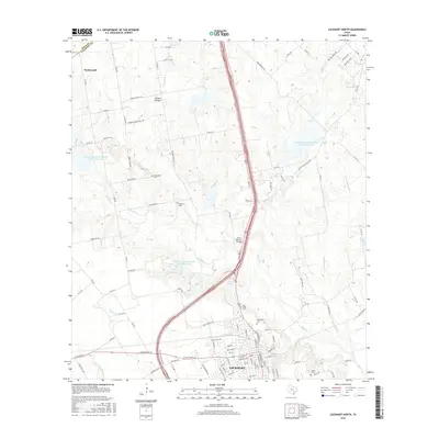
1963 Lockhart North
Caldwell County, TX
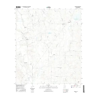
1963 McMahan
Caldwell County, TX
1964 Dale
Caldwell County, TX
1964 Delhi
Caldwell County, TX
1964 Lockhart South
Caldwell County, TX
2010 Dale
Caldwell County, TX
2010 Delhi
Caldwell County, TX
2010 Lockhart North
Caldwell County, TX
2010 Lockhart South
Caldwell County, TX
2010 McMahan
Caldwell County, TX
2013 Dale
Caldwell County, TX
2013 Delhi
Caldwell County, TX
2013 Lockhart North
Caldwell County, TX
2013 Lockhart South
Caldwell County, TX
2013 McMahan
Caldwell County, TX
2016 Dale
Caldwell County, TX
2016 Delhi
Caldwell County, TX
2016 Lockhart North
Caldwell County, TX
2016 Lockhart South
Caldwell County, TX
2016 McMahan
Caldwell County, TX
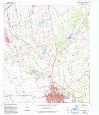
2019 Dale
Caldwell County, TX
2019 Delhi
Caldwell County, TX
2019 Lockhart North
Caldwell County, TX
2019 Lockhart South
Caldwell County, TX
2019 McMahan
Caldwell County, TX
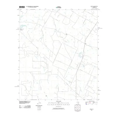
2022 Dale
Caldwell County, TX
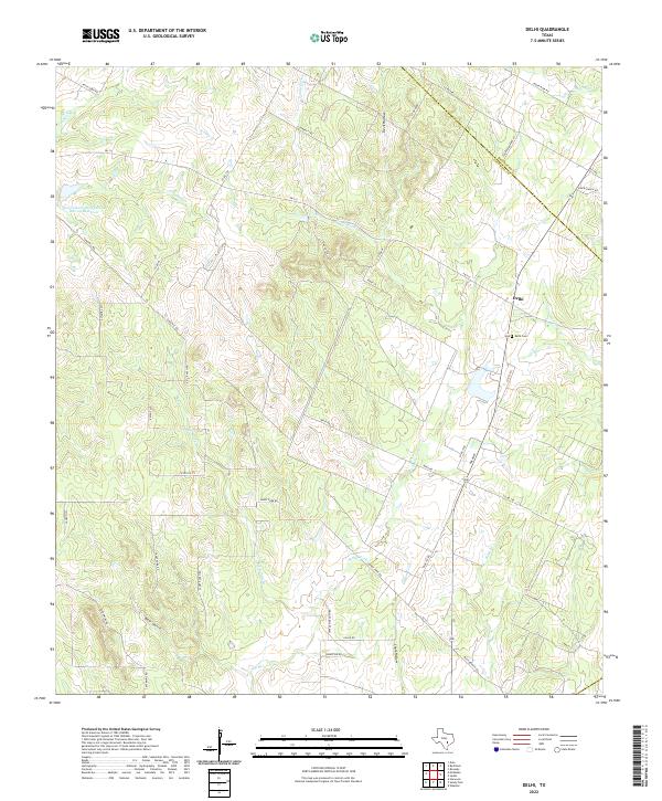
2022 Delhi
Caldwell County, TX
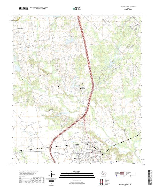
2022 Lockhart North
Caldwell County, TX
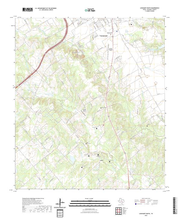
2022 Lockhart South
Caldwell County, TX
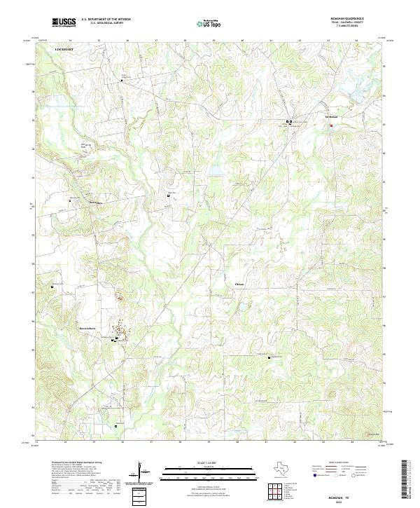
2022 McMahan
Caldwell County, TX