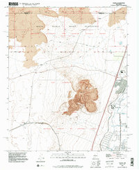
1991 Map of Dalies
USGS Topo · Published 1996About this map
El Cerro de los Lunas dominates the central landscape of this quadrangle, its volcanic profiles rising sharply above the surrounding desert terrain. The map details a complex intersection of historic land grants, including the San Clemente Grant and the Nicolas Duran de Chavez Grant, reflecting the deep Spanish and Puebloan heritage of the Rio Grande Valley. To the north, the Isleta Pueblo Indian Reservation covers significant acreage, while the eastern edge follows the developed corridor near Los Lunas. This area is defined by its water management infrastructure, where the Belen Highline Canal and Los Lunas Wasteway support agriculture in an arid environment. The transportation network is anchored by the Atchison Topeka and Santa Fe railroad, which passes through the junction at Dalies, a critical point for regional rail logistics during the late twentieth century.
Find a feature on this map
29 named features on this map. Tap any name to fly to it.
Don’t see what you’re looking for? This feature index may not catch every label — zoom into the map to look around manually.
Map Details
Editions of this 1991 Dalies Map
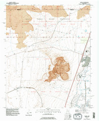
2 editions found
Other maps of this area

1952 · Wind Mesa
USGS Topo · 1:24,000

1952 · Dalies
USGS Topo · 1:24,000

1952 · Belen
USGS Topo · 1:24,000

1952 · Belen NW
USGS Topo · 1:24,000

1952 · Rio Puerco
USGS Topo · 1:24,000

1952 · Tome
USGS Topo · 1:24,000

1952 · Los Lunas
USGS Topo · 1:24,000

1952 · Isleta
USGS Topo · 1:24,000

1952 · Dalies NW
USGS Topo · 1:24,000

1954 · Socorro
USGS Topo · 1:250,000