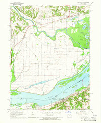
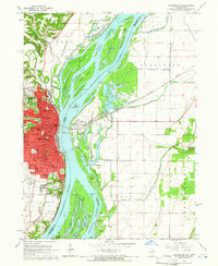
1964 Map of Dallas City
USGS Topo · Published 1965About this map
Mississippi River shipping and heavy rail infrastructure define this mid-1960s border landscape between Illinois and Iowa. The river is dominated by the Pool 19 impoundment, featuring complex island systems like Peel Island and Grape Island separated by the Grape Chute. On the Illinois shore, Dallas City serves as a focal point for the Chicago Burlington and Quincy and Atchison Topeka and Santa Fe railroads, which hug the riverbank near the Pontoosuc landing. To the north, the Skunk River meanders through the broad floodplain of Green Bay, a region marked by extensive levees and drainage ditches designed to manage the marshy terrain of Patterson Lake and Lost Slough. This survey captures the intersection of heavy industry at the Quarry and Sandpit sites with rural community life found at Oak Grove Ch and several family burial grounds including Mohnike Cem.
Find a feature on this map
63 named features on this map. Tap any name to fly to it.
Don’t see what you’re looking for? This feature index may not catch every label — zoom into the map to look around manually.
Map Details
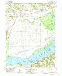
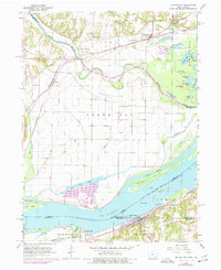
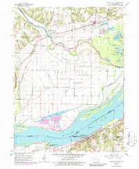
Editions of this 1964 Dallas City Map
4 editions found
Other maps of this area

1932 · Lomax
USGS Topo · 1:62,500

1934 · Burlington
USGS Topo · 1:48,000

1936 · Fort Madison
USGS Topo · 1:62,500

1937 · Lomax
USGS Topo · 1:62,500

1940 · Burlington
USGS Topo · 1:62,500

1958 · Burlington
USGS Topo · 1:250,000

1961 · Burlington
USGS Topo · 1:250,000

1963 · Burlington
USGS Topo · 1:250,000
1964 · Burlington
USGS Topo · 1:24,000

1964 · Lomax
USGS Topo · 1:24,000