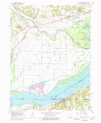
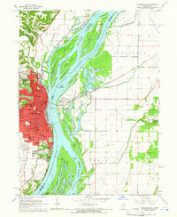
1964 Map of Dallas City
USGS Topo · Published 1977About this map
Skunk River meanders toward its confluence with the Mississippi River, defining a landscape of expansive bottomlands and intricate waterways. This mid-1960s survey documents a region defined by its reliance on the river and rail, with the Burlington Northern and Atchison Topeka and Santa Fe railroads tracing the shorelines. The topography is marked by numerous water bodies like Patterson Lake, Half Moon Lake, and the winding Green Bayou, separated by an extensive levee system.
Find a feature on this map
56 named features on this map. Tap any name to fly to it.
Don’t see what you’re looking for? This feature index may not catch every label — zoom into the map to look around manually.
Map Details
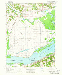
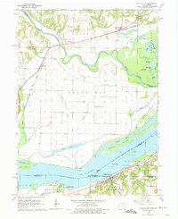
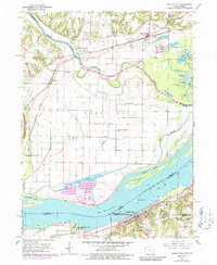
Editions of this 1964 Dallas City Map
4 editions found
Other maps of this area

1932 · Lomax
USGS Topo · 1:62,500

1934 · Burlington
USGS Topo · 1:48,000

1936 · Fort Madison
USGS Topo · 1:62,500

1937 · Lomax
USGS Topo · 1:62,500

1940 · Burlington
USGS Topo · 1:62,500

1958 · Burlington
USGS Topo · 1:250,000

1961 · Burlington
USGS Topo · 1:250,000

1963 · Burlington
USGS Topo · 1:250,000
1964 · Burlington
USGS Topo · 1:24,000

1964 · Lomax
USGS Topo · 1:24,000