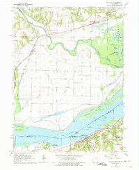
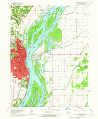
1964 Map of Dallas City
USGS Topo · Published 1975About this map
The Mississippi River and the Skunk River converge in a complex landscape of islands, sloughs, and chutes during the mid-1960s. Dallas City and Pontoosuc anchor the Illinois shoreline, where the Atchison Topeka and Santa Fe railroad runs parallel to the riverbanks, serving local industry like the quarries near the athletic field. Across the water in Iowa, the village of Wever sits at the junction of the Chicago Burlington and Quincy line, surrounded by a high density of rural landmarks. Genealogists will find a significant number of family-named burial sites, including Tierney Cem, Beebe Cem, South Walker Cem, and Mohoke Cem. The river geography is notably detailed, featuring the Grape Chute and Lead Island Chute separating large landmasses like Peel Island and Grape Island from the mainland, highlighting the hydraulic character of the border region before modern alterations.
Find a feature on this map
53 named features on this map. Tap any name to fly to it.
Don’t see what you’re looking for? This feature index may not catch every label — zoom into the map to look around manually.
Map Details
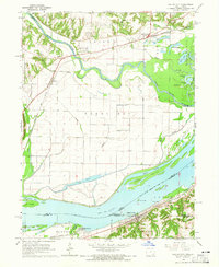
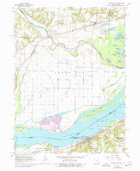
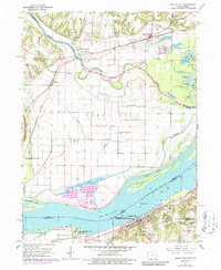
Editions of this 1964 Dallas City Map
4 editions found
Other maps of this area

1932 · Lomax
USGS Topo · 1:62,500

1934 · Burlington
USGS Topo · 1:48,000

1936 · Fort Madison
USGS Topo · 1:62,500

1937 · Lomax
USGS Topo · 1:62,500

1940 · Burlington
USGS Topo · 1:62,500

1958 · Burlington
USGS Topo · 1:250,000

1961 · Burlington
USGS Topo · 1:250,000

1963 · Burlington
USGS Topo · 1:250,000
1964 · Burlington
USGS Topo · 1:24,000

1964 · Lomax
USGS Topo · 1:24,000