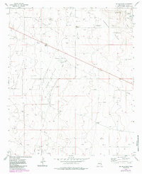
1973 Map of Dallas Store NW
USGS Topo · Published 1985About this map
The high plains of Lea County are defined here by a massive industrial infrastructure dedicated to petroleum extraction during the early 1970s. The landscape is dominated by the Bagley North Oil Field, Bagley West Oil Field, and the broader Bagley Oil Field, characterized by an extensive network of pipelines, pumping stations, and numerous oil wells. This concentration of energy production is punctuated by remote livestock operations such as Acrey Ranch, Medlin Ranch, and the Four Lakes Ranch near the Four Lakes water feature. A notable local landmark, the Dallas Store, sits at a road junction in the northwest, serving as a rare point of commerce. The terrain transition into the Simanola Valley in the east is marked by specialized ranching improvements, including the Goat Windmill and Meadow Windmill, which highlight the continued importance of water management in this arid region.
Find a feature on this map
19 named features on this map. Tap any name to fly to it.
Don’t see what you’re looking for? This feature index may not catch every label — zoom into the map to look around manually.
Map Details
Editions of this 1973 Dallas Store NW Map
2 editions found
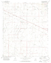
Other maps of this area

1954 · Brownfield
USGS Topo · 1:250,000

1958 · Brownfield
USGS Topo · 1:250,000

1961 · Johnson Ranch
USGS Topo · 1:24,000

1962 · Brownfield
USGS Topo · 1:250,000

1970 · Johnson Ranch
USGS Topo · 1:24,000

1970 · Simanola Valley
USGS Topo · 1:24,000

1970 · Alston Ranch
USGS Topo · 1:24,000

1973 · Soldier Hill
USGS Topo · 1:24,000

1973 · Caprock
USGS Topo · 1:24,000

1973 · Cooper-Good Ranch
USGS Topo · 1:24,000