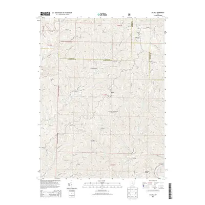
2013 Map of Dalzell
USGS Topo · Published 2013About this map
Wayne National Forest covers significant portions of this terrain, where the headwaters of numerous creeks carve through the landscape at the meeting point of Noble, Monroe, and Washington counties. Small settlements like Dalzell and Gasville are connected by a network of winding ridge roads and valley routes, including State Rte 26 and Germantown Rd. The area is notably dense with cemetery sites, reflecting generations of local history in places such as Masterton Cem near Lebanon and the Waxler Church Cem further south.
Find a feature on this map
113 named features on this map. Tap any name to fly to it.
Don’t see what you’re looking for? This feature index may not catch every label — zoom into the map to look around manually.
Map Details
Editions of this 2013 Dalzell Map
This is the sole edition of this map. No revisions or reprints were ever made.
Other maps of this area

1903 · Macksburg
USGS Topo · 1:62,500

1904 · Marietta
USGS Topo · 1:62,500

1905 · New Matamoras
USGS Topo · 1:62,500

1905 · Macksburg
USGS Topo · 1:62,500

1906 · Saint Marys
USGS Topo · 1:62,500

1924 · St Marys
USGS Topo · 1:62,500

1924 · New Matamoras
USGS Topo · 1:62,500

1924 · Marietta
USGS Topo · 1:62,500

1926 · New Matamoras
USGS Topo · 1:62,500

1927 · Marietta
USGS Topo · 1:62,500