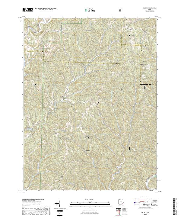
2023 Map of Dalzell
USGS Topo · Published 2023About this map
The Wayne National Forest provides a backdrop for several small settlements and rural homesteads in this 2023 snapshot of Washington County. Small communities like Dalzell and Gasville are positioned along the winding roads that follow the contours of the local drainage basins. The landscape is defined by the heavy dissection of tributaries such as Fifteenmile Creek, Sycamore Fork, and Whipple Run, which have carved out the ridges that define the area's topography.
Find a feature on this map
64 named features on this map. Tap any name to fly to it.
Don’t see what you’re looking for? This feature index may not catch every label — zoom into the map to look around manually.
Map Details
Editions of this 2023 Dalzell Map
This is the sole edition of this map. No revisions or reprints were ever made.
Other maps of this area

1903 · Macksburg
USGS Topo · 1:62,500

1904 · Marietta
USGS Topo · 1:62,500

1905 · New Matamoras
USGS Topo · 1:62,500

1905 · Macksburg
USGS Topo · 1:62,500

1906 · Saint Marys
USGS Topo · 1:62,500

1924 · St Marys
USGS Topo · 1:62,500

1924 · New Matamoras
USGS Topo · 1:62,500

1924 · Marietta
USGS Topo · 1:62,500

1926 · New Matamoras
USGS Topo · 1:62,500

1927 · Marietta
USGS Topo · 1:62,500