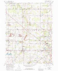
1966 Map of Damascus
USGS Topo · Published 1992About this map
Damascus sits at the intersection of agricultural tradition and mid-century growth along the border of Mahoning and Columbiana counties. This landscape is defined by its transition from the northern Berlin Reservoir shoreline and the State Wildlife Area toward the industrial and rail-connected settlements to the south. The area maintains a high density of small named communities such as Bunker Hill, Patmos, and Snodes, many of which were established as rural service hubs before the consolidation of larger districts.
Find a feature on this map
54 named features on this map. Tap any name to fly to it.
Don’t see what you’re looking for? This feature index may not catch every label — zoom into the map to look around manually.
Map Details
Editions of this 1966 Damascus Map
2 editions found
Other maps of this area

1906 · Ravenna
USGS Topo · 1:62,500

1908 · Warren
USGS Topo · 1:62,500

1908 · Ravenna
USGS Topo · 1:62,500

1909 · Alliance
USGS Topo · 1:62,500

1909 · Lisbon
USGS Topo · 1:62,500

1950 · Cleveland
USGS Topo · 1:250,000

1951 · Canton
USGS Topo · 1:250,000

1952 · Lake Milton
USGS Topo · 1:24,000

1952 · Canfield
USGS Topo · 1:24,000

1952 · Alliance
USGS Topo · 1:24,000